What is recorded here
On the highest point of a prominent hill. Depicted as a circular enclosure with the designation 'Fort' on the 1837 ed. of the OS 6-inch map. A report in 1976 (SMR file) indicates that this raised subcircular area (39m N-S; 37m E-W) was defined by two massive banks of earth and stone and two fosses. The entrance was at SE. The monument has since been levelled and is defined by a low scarp (H 0.3-0.5m). From WNW-NW-N an outer scarp (H 0.3-0.5m) may represent the last vestiges of the outer bank. No traces of the fosses are evident at ground level.
Compiled by: Patrick F. O'Donovan
Date of upload: 18 January 2012
A fairy fort or earthen ringfort in Shanmullagh is a circular enclosure likely dating to the early medieval period, situated on a prominent hilltop. It is associated with local folklore surrounding fairies and other supernatural beings, common in Irish tradition for such sites.
The monument record does not grant public access. Check the route and ask the landowner before entering private land.
- What survives
- Recorded monument
Places near here
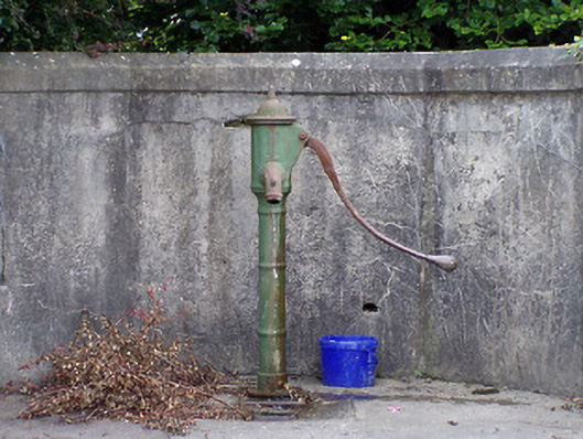 water pumpwater pump · 1091 yd
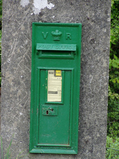 post boxpost box · 1366 yd
 Tober PatrickCross · 1460 yd
 Ritual siteRitual site, holy tree/bush · 1467 yd
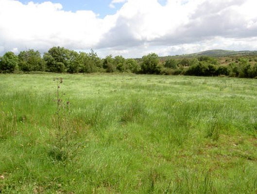 battlefieldbattlefield · 1518 yd
 Battle of BallinamuckMajor battlefield · 1675 yd
 Ballinamuck Bog LoopWalking route · 1.5 mi
 North Midland Transport CollectionMuseum · 2.6 mi
 Native Woodland Trust: Farnaght ReserveWood · 3.4 mi
 CastleBawn · 4.6 mi
 Giant's GraveArchaeological place · 4.8 mi
 Sessile OakSessile Oak · 5.7 mi