What is recorded here
Fairy fort / earthen ringfort in Shanid Lower is a circular earthen enclosure about twenty-nine metres across on a steep SSE-facing hill slope in County Limerick. Its bank has been straightened into field boundaries, broken at WSW, and worn by cattle at NNE, but the SE to SSW arc still stands highest. The interior slopes downward under rough pasture, suggesting a small dwelling or refuge shaped by people long before the farm lanes closed around it.
In pasture, on steep SSE-facing hill slope. Circular area (28.9m N-S; 30.9m E-W) enclosed by earthen bank which has been straightened and incorporated into field boundary system WSW->WNW and NE->SE. Bank (int. H 0.5m; ext. H 1.55m; Wth ), masked by vegetation overgrowth, is best preserved SE->SSW. Break in bank at WSW (Wth 0.9m), and gap worn across bank by cattle at NNE. Interior, under rough pasture, slopes down to SSE.
Compiled by: Denis Power
Date of upload: 26 August 2011
The monument record does not grant public access. Check the route and ask the landowner before entering private land.
- What survives
- Recorded monument
Places near here
 KnockourhaArchaeological place · 576 yd
 Fulacht fia in CloonyclohassyFulacht fia · 670 yd
 Castle (Site of)Castle, unclassified · 1010 yd
 Waterpark Housecountry house · 1054 yd
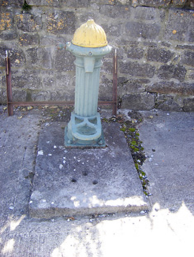 water pumpwater pump · 1361 yd
 Shanid CastleCastle · 1489 yd
 Foynes Flying Boat & Maritime MuseumMuseum · 3.2 mi
 Monterey CypressMonterey Cypress · 3.2 mi
 Foynes Island ViewpointViewpoint · 3.4 mi
 Gammarel PointHeadland · 3.7 mi
 Foynes IslandIsland · 3.9 mi
 Battery PointHeadland · 4.0 mi