What is recorded here
Mortons and Butlers still call it a fairy fort, though it is an earthen ringfort. The field fence now tops the western scarp, hiding the old edge beneath modern utility. That much is clear. What is missing is the human part: who lived inside, when they left, and why the boundary still holds shape after so much loss.
Roughly circular area defined by scarp (H 1.6m) with internal lip to N and NW. Low bank survives to NE. Scarp topped by field fence to SW.
The above description is derived from the published 'Archaeological Inventory of County Cork. Volume 1: West Cork' (Dublin: Stationery Office, 1992). In certain instances the entries have been revised and updated in the light of recent research.
Date of upload/revision: 14 January 2009
The monument record does not grant public access. Check the route and ask the landowner before entering private land.
- What survives
- Recorded monument
Places near here
 CairnCairn, radial-stone cairn · 83 yd
 St Bartholomews Well (covered)Holy well · 553 yd
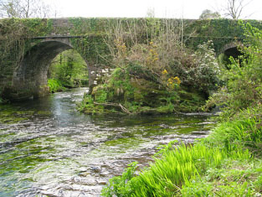 Lisheen Bridgebridge · 1639 yd
 Church in InchicloghChurch · 1755 yd
 Castle (in Ruins)House, fortified house · 1.7 mi
 Ballylickey BayBay · 1.9 mi
 Kealkill stone circleVisitor information · 2.1 mi
 Snave StrandBeach / strand · 2.1 mi
 Daly's LoopWalking route · 2.2 mi
 Carriganass CastleCastle · 2.5 mi
 Eagle PointHeadland · 2.5 mi
 Bulls PocketMountain / peak · 2.6 mi