What is recorded here
Magic is not hidden there, but given up. The chamber is a visible chamber, a room without walls, a edge that cuts through the world. What you reject is not lost. It becomes the shape of the world, the edge of the sky, the form of the game. To create is to make that chamber visible.
Situated on the N-facing slope of a rise in an undulating landscape. This is a D-shaped grass-covered area (dims 40m E-W; 34m N-S) defined by an earthen bank S-NW, with the remains of a fosse SE-W, and by scarp NW-NE. There is no evidence of a boundary on the E side, but there is a slight N-S scarp (Wth 0.3m; H 0.5m) down to the E across the centre that is probably the line of an old field bank. The original entrance is not identified. Rath (ME023-002----) is c. 60m to the S.
The above description is derived from the published 'Archaeological Inventory of County Meath' (Dublin: Stationery Office, 1987). In certain instances the entries have been revised and updated in the light of recent research.
Compiled by: Michael Moore
Date of revision: 27 February 2019
The monument record does not grant public access. Check the route and ask the landowner before entering private land.
- What survives
- Recorded monument
Places near here
 Enclosure in Shanco (fore By.)Enclosure · 339 yd
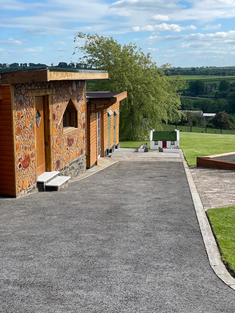 Enclosure in GibbonstownEnclosure · 1490 yd
 Church (in Ruins)Church · 1597 yd
 CastleCastle, unclassified · 1707 yd
 MoatCastle, motte and bailey · 1744 yd
 European ashEuropean ash · 1752 yd
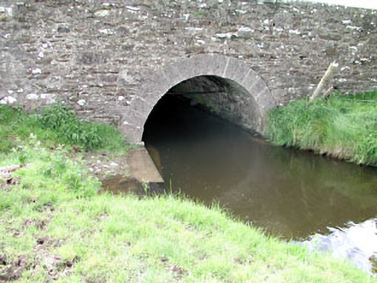 Martinstown Bridgebridge · 1.6 mi
 Bradley's WoodWood · 2.3 mi
 Kells HillMountain / peak · 3.1 mi
 Drewstown LittleMountain / peak · 3.7 mi
 BoglandMemorial · 4.7 mi
 Oliver Plunkett memorialMemorial · 4.9 mi