What is recorded here
Fairy fort in Shanco, County Meath: an oval grass ring, 49m by 40m, held by an earthen bank and outer fosse on a south-facing ridge. Inside, just north-east of centre, a smaller rectangular house site survives with its own bank, scarp and western entrance. The main gateway faces west-southwest, letting a person walk from the open ridge into a place where the ground still draws its own shape.
Located towards the top of the S-facing slope of an E-W ridge. This is an oval grass-covered area (dims 49m ENE-WSW; 40m NNW-SSE) that slopes down (H c. 2m) to the SW. It is defined by an earthen bank (at E: Wth 6.3m; int. H 0.8m; ext. H 1m) that is reduced to a scarp (ext. H 1-2m) WNW-N and an outer fosse (at E: Wth of top 6.5m; Wth of base 1.7m; ext. D 1m) often reduced to a berm (at S: Wth 3.5m). There are traces of an outer bank E-SW that might be incorporated in a NW-SE field bank N-E. The original entrance through both banks is at WSW. Just NE of the centre is a rectangular house site (dims 12m N-S; 5m E-W) defined by an earthen bank (Wth 2.4m; H 0.3m) at W and S and a scarp down to the interior at N and E with an entrance at W.
The above description is derived from the published 'Archaeological Inventory of County Meath' (Dublin: Stationery Office, 1987). In certain instances the entries have been revised and updated in the light of recent research.
Compiled by: Michael Moore
Date of revision: 10 January 2019
Amended: 23 March 2023
The monument record does not grant public access. Check the route and ask the landowner before entering private land.
- What survives
- Recorded monument
Places near here
 Enclosure in Shanco (fore By.)Enclosure · 629 yd
 Enclosure in GibbonstownEnclosure · 1144 yd
 Church (in Ruins)Church · 1232 yd
 CastleCastle, unclassified · 1312 yd
 MoatCastle, motte and bailey · 1366 yd
 European ashEuropean ash · 1686 yd
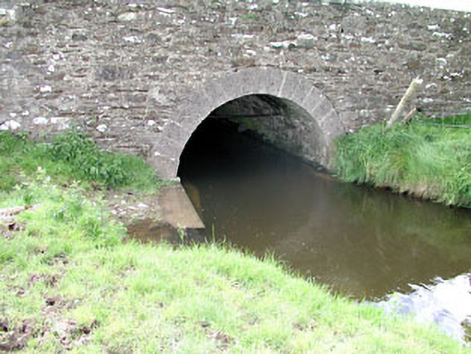 Martinstown Bridgebridge · 1.6 mi
 Bradley's WoodWood · 2.0 mi
 Kells HillMountain / peak · 2.8 mi
 Slieve GullionMountain / peak · 3.6 mi
 Oliver Plunkett memorialMemorial · 4.7 mi
 Loughcrew Megalithic TombsHeritage attraction · 4.8 mi