What is recorded here
Fairy forts are often ringforts or small ceremonial enclosures. People in centuries past stopped believing the fairies were literal, but they kept the warning about the forts. They called healthy common sense something else.
In pasture, at base of gentle SE-facing slope. Circular area (31.5m N-S; 29.5m E-W) enclosed by earthen bank (int. H 0.8m; ext. H 2m); external fosse survives as shallow depression N->SSW. Entrance (Wth 3.5m) to SE. Interior raised above outer field level; NW quadrant higher than remainder; arc, formed by low rise (max. H 0.3m), runs immediately inside bank NE->NW, continuing across entrance area.
The above description is derived from the published 'Archaeological Inventory of County Cork. Volume 4: North Cork' (Dublin: Stationery Office, 2000). In certain instances the entries have been revised and updated in the light of recent research.
Date of upload/revision: 14 January 2009
The monument record does not grant public access. Check the route and ask the landowner before entering private land.
- What survives
- Recorded monument
Places near here
 gates/railings/wallsgates/railings/walls · 308 yd
 Ruane Castle (Site of)Castle, unclassified · 1322 yd
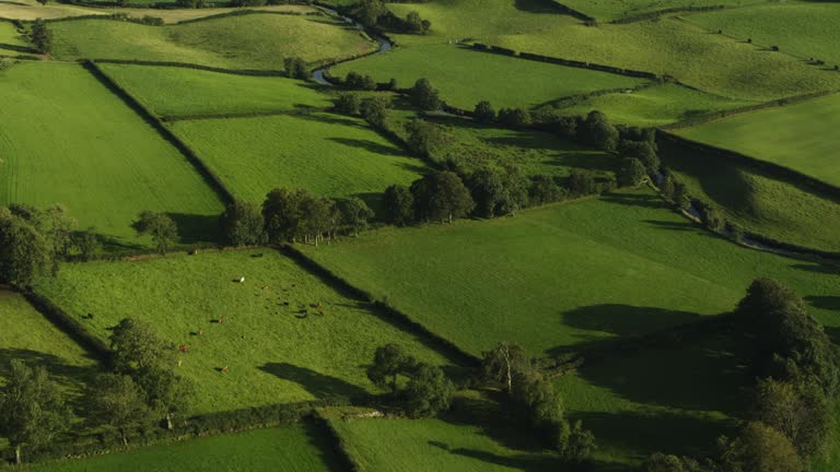 Field system in Carrigleagh (fermoy By., Wallstown Par.)Field system · 1399 yd
 Man-made underground passageMan-made underground passage · 1446 yd
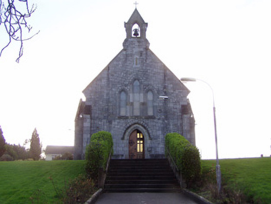 Church of Christ the Kingchurch/chapel · 1555 yd
 IndicatedCastle, tower house · 1.0 mi
 Horse Field WoodForest · 1.6 mi
 North Meadow WoodForest · 1.7 mi
 Anne's Grove GardensHeritage attraction · 1.9 mi
 Flat cemetery in Ballyenahan NorthFlat cemetery · 2.2 mi
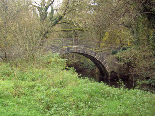 Doneraile Courtfoot bridge · 4.8 mi
 Graveyard in BoherashGraveyard · 4.9 mi