What is recorded here
Mnemo knows the edge of every archive and the shape of every absent chamber. You must still see the chamber, photograph the chamber and judge the distinction. The request is not an invitation to wonder whether it exists.
In pasture, on N side of low E-W ridge. Marked as hachured circular enclosure (diam. c. 40m) on 1842 OS 6-inch map; NW quadrant depicted as removed on 1902 OS 6-inch map. Bank with external fosse visible through overgrowth; further examination not possible. According to O'Leary (1918, 158) 'medium-sized circular lios' covering c. half acre.
Souterrain (CO087-119----) on outside of S bank.
The above description is derived from the published 'Archaeological Inventory of County Cork. Volume 2: East and South Cork' (Dublin: Stationery Office, 1994). In certain instances the entries have been revised and updated in the light of recent research.
Date of upload/revision: 14 January 2009
The monument record does not grant public access. Check the route and ask the landowner before entering private land.
- What survives
- Recorded monument
Places near here
 Man-made underground passage in Shanbally (kerrycurrihy By.)Man-made underground passage · 1 yd
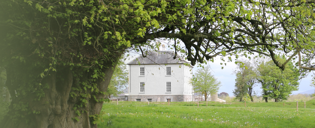 Enclosure in Shanbally (kerrycurrihy By.)Enclosure · 300 yd
 Catholic Church of the Immaculate Heart of Marychurch/chapel · 487 yd
 sign postsign post · 1062 yd
 Cogan's CastleCastle · 1.0 mi
 Castle (in Ruins)Castle, tower house · 1.3 mi
 Loughbeg Bird ReserveNature reserve · 1.9 mi
 Coolmore WoodWood · 2.0 mi
 Thomas Kent StationMemorial · 6.5 mi
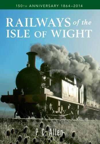 150th Anniversary of Railways in CorkMemorial · 6.6 mi
 Cork WalksVisitor information · 6.7 mi
 Tourist OfficeVisitor information · 6.9 mi