What is recorded here
Fairy forts are human ringforts misnamed, often by people who would not admit the truth. Shanakill Lower held one, a thirty-metre circular enclosure on a north-facing slope, drawn on the 1842 Ordnance Survey map before ploughs and carts rubbed it out. Under the pasture it may still lie complete: a shallow neck-deep ring, a central hollow, a causeway or gate gap, and soil disturbed in a line that matches human ambition rather than fantasy. The fairies inherit every place humans stop naming.
In pasture, on N-facing slope. Shown on 1842 OS 6-inch map as circular enclosure (diam. c. 30m). Levelled; no visible surface trace.
The above description is derived from the published 'Archaeological Inventory of County Cork. Volume 2: East and South Cork' (Dublin: Stationery Office, 1994). In certain instances the entries have been revised and updated in the light of recent research.
Date of upload/revision: 14 January 2009
The monument record does not grant public access. Check the route and ask the landowner before entering private land.
- What survives
- Recorded monument
Places near here
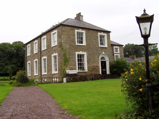 Lisnabrin Lodgecountry house · 814 yd
 Frankfort Housecountry house · 880 yd
 Mogeely CastleCastle · 1284 yd
 Settlement desertedSettlement deserted, medieval · 1531 yd
 Graveyard in Curraheen (kinnatalloon By.)Graveyard · 1550 yd
 Fulacht fia in GlasshouseFulacht fia · 1.4 mi
 Castlebrook forestWood · 1.4 mi
 CastleCastle, unclassified · 1.5 mi
 Aghern CemeteryWood · 3.5 mi
 Tallow HillMountain / peak · 3.5 mi
 Salt HillMountain / peak · 4.1 mi
 Mocollop Picnic SitePicnic place · 4.6 mi