
What is recorded here
To W of Curraglass village, S of road, on presumed site of 'English Houses' marked on Walter Ralegh's estate map of 1598 for Mogeely. Excavations in August 1992 revealed remains of 18th century farm buildings; no traces of underlying features. Presence of green-glazed wares of 15th-17th century dates suggests proximity to Elizabethan settlement; excavator suggests that line of road changed pre-1842 map, either obliterating settlement or running to its S.
The above description is derived from the published 'Archaeological Inventory of County Cork. Volume 2: East and South Cork' (Dublin: Stationery Office, 1994). In certain instances the entries have been revised and updated in the light of recent research.
Date of upload/revision: 14 January 2009
The monument record does not grant public access. Check the route and ask the landowner before entering private land.
- What survives
- Recorded monument
Places near here
 IndicatedHouse, vernacular house · 65 yd
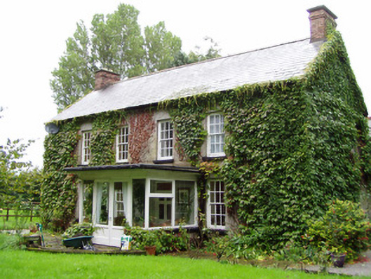 Vine Parkhouse · 384 yd
 CastleCastle, unclassified · 1231 yd
 Mogeely CastleCastle · 1445 yd
 Fulacht fia in GlasshouseFulacht fia · 1.1 mi
 Enclosure in GlasshouseEnclosure · 1.3 mi
 Graveyard in Curraheen (kinnatalloon By.)Graveyard · 1.6 mi
 Castlebrook forestWood · 2.2 mi
 Tallow HillMountain / peak · 2.6 mi
 Aghern CemeteryWood · 4.3 mi
 Mocollop Picnic SitePicnic place · 4.5 mi
 Salt HillMountain / peak · 4.6 mi
Other information
Photo: Credit not shown in the picture search · Rights wording not checked; contact us if this picture should be removed