What is recorded here
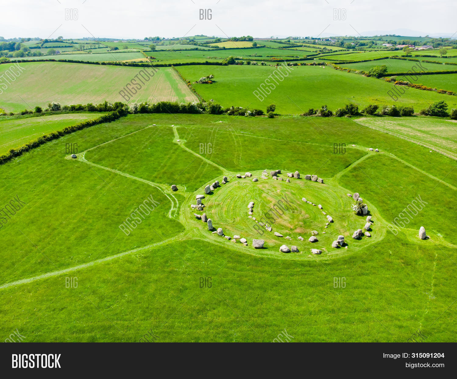
Fairy fort in Shanahee, County Cork. Earthen ring on an east-facing slope, mapped in 1842. Its bank still runs southeast to northwest inside the field fence, a circular shadow in ordinary pasture. People may have lived there before the fence, or the land may have kept the shape for no reason at all.
In pasture, on E-facing slope. Depicted as circular enclosure on 1842 OS 6-inch map. Earthen bank survives in field fence system SE->NW.
The above description is derived from the published 'Archaeological Inventory of County Cork. Volume 2: East and South Cork' (Dublin: Stationery Office, 1994). In certain instances the entries have been revised and updated in the light of recent research.
Date of upload/revision: 14 January 2009
The monument record does not grant public access. Check the route and ask the landowner before entering private land.
- What survives
- Recorded monument
Places near here
 Enclosure in BallybranaganEnclosure · 1385 yd
 Prehistoric sitePrehistoric site, lithic scatter · 1722 yd
 Ballybrannigan BeachBeach / strand · 1.0 mi
 Ballycroneen BeachBeach / strand · 1.1 mi
 Anchor The SagaMemorial · 1.1 mi
 Ballinvillahunting/fishing lodge · 1.6 mi
 Violet Hillhouse · 1.7 mi
 Doonpower (in Ruins)Castle, unclassified · 2.7 mi
 RobertMemorial · 2.7 mi
 Sweet ChestnutSweet Chestnut · 2.8 mi
 PohutukawaPohutukawa · 2.8 mi
 Fossil Worm TrackNamed rock · 2.8 mi