What is recorded here
Thirty metres across and unnamed on official maps, the Seraghstown rath sits atop its hillock like a forgotten coin. Grass covers the circle, rock bites through at the edge, and no entrance remains visible. People may have stood inside it during storms, children may have run its rim at dawn, and the fairies may have taken the place back when human memory thinned. What is certain is that the land still holds the shape, waiting for someone to walk it without asking permission.
Situated on top of a hillock. This feature is not depicted on any OS map but it is known locally as a rath. It is a raised, circular and grass-covered area (diam. 31m NW-SE; 30m NE-SW) with some rock outcrop defined by a scarp (at SE: Wth 1.5m; H 0.5m). There is no visible fosse or identifiable original entrance.
The above description is derived from the published 'Archaeological Inventory of County Meath' (Dublin: Stationery Office, 1987). In certain instances the entries have been revised and updated in the light of recent research.
Compiled by: Michael Moore
Date of revision: 26 February 2019
The monument record does not grant public access. Check the route and ask the landowner before entering private land.
- What survives
- Recorded monument
Places near here
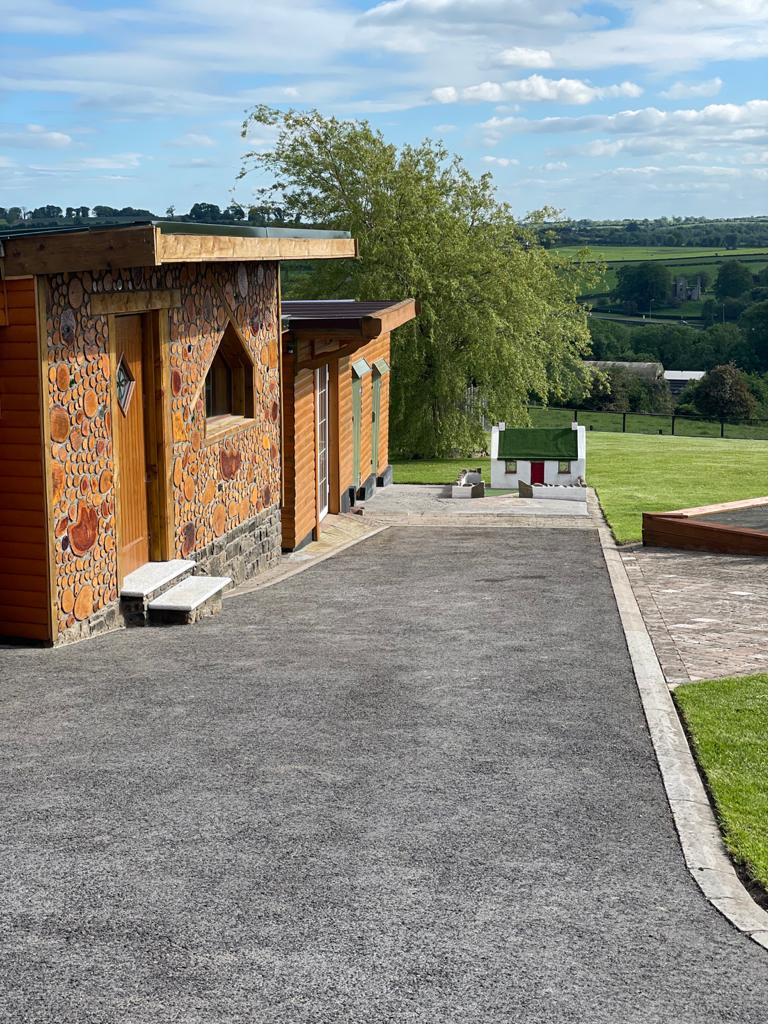 Enclosure in GibbonstownEnclosure · 900 yd
 Enclosure in Shanco (fore By.)Enclosure · 1554 yd
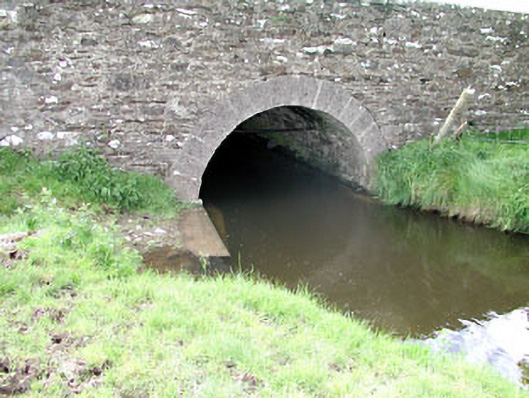 Martinstown Bridgebridge · 1636 yd
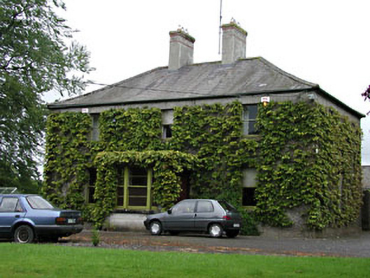 Ardglassan Housefarm house · 1.2 mi
 CastleCastle, unclassified · 1.4 mi
 MoatCastle, motte and bailey · 1.5 mi
 European ashEuropean ash · 1.6 mi
 Largan WoodWood · 2.4 mi
 Kells HillMountain / peak · 3.2 mi
 CloncatMountain / peak · 3.8 mi
 Oliver Plunkett memorialMemorial · 4.3 mi
 Loughcrew Megalithic TombsHeritage attraction · 4.6 mi