What is recorded here
Mullaghdun, the hill of the fort, still wears a shallow circular dish thirty to thirty-five metres wide on its west-facing slope. The earth remains low and grass-covered, yet the shape resists forgetting. People may have stood inside that circle, watched the western sky or kept something hidden from plain view. The fort is small enough to overlook but persistent enough to mark the hill’s identity.
Located on a shelf on the W-facing slope of a hill that is known locally as Mullaghdun – the hill of the fort. It is visible as a small circular feature on aerial photographs (GSIAP: N 685-6). This is a slightly dished and circular grass-covered area (diam. c. 30-35m) defined by a slight scarp.
The above description is derived from the published 'Archaeological Inventory of County Meath' (Dublin: Stationery Office, 1987). In certain instances the entries have been revised and updated in the light of recent research.
Revised by: Michael Moore
Date of revision: 26 October 2018
The monument record does not grant public access. Check the route and ask the landowner before entering private land.
- What survives
- Recorded monument
Places near here
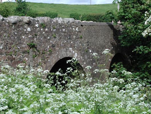 Lady Bridgebridge · 918 yd
 Ugly HillMountain / peak · 1193 yd
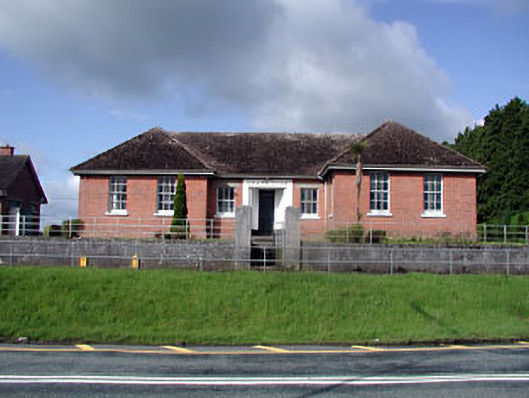 Nobber Technical Schoolschool · 1294 yd
 Kilbride FortFairy fort / earthen ringfort · 1643 yd
 Cross in NobberCross · 1.0 mi
 Nobber GreenwayMemorial · 1.1 mi
 MoatCastle, motte and bailey · 1.2 mi
 HeadstownMountain / peak · 1.5 mi
 Headstown ForestForest · 1.6 mi
 Common LimeCommon Lime · 1.7 mi
 CastleCastle, motte · 1.9 mi
 Owenroe and Moynalty DrainageMemorial · 4.2 mi