What is recorded here
Situated in pasture. Depicted on the 1837 ed. OS 6-inch map as a roughly circular-shaped earthwork, with field boundaries extending from S and NW. Depicted on the revised 1913 ed. OS 25-inch map as a much modified roughly triangular-shaped earthwork truncated by a field boundary running NW-SE to W.
Described in 1983 as a circular-shaped area (diam. 28m) enclosed by an inner bank, an intervening fosse and a partially surviving outer bank. The inner earthen bank (int. H 0.5-1m) is very well preserved from NW-N-E-SE, is levelled from SE-SW and is poorly preserved to SW-NW. There is a substantial fall from the inner bank into the fosse (D 3-4m; Wth 2m), particularly to N. The outer earthen bank (int. H c. 1m) rises steadily from the fosse. It is best preserved around the N arc and is barely traceable around the E arc. There are several gaps in the outer bank. Monument is visible today as a partially tree-lined earthwork on Digital Globe aerial photography.
Compiled by: Alison McQueen, Vera Rahilly and Caimin O’Brien
Date of upload: 11 January 2019
The monument record does not grant public access. Check the route and ask the landowner before entering private land.
- What survives
- Recorded monument
Places near here
 Partially indicatedFairy fort / earthen ringfort · 439 yd
 Lack LomanArchaeological place · 824 yd
 IndicatedCastle, motte · 1299 yd
 Nugent's CastleCastle · 1361 yd
 Carrickphilbin IslandIslet · 1661 yd
 Portloman AbbeyChurch · 1721 yd
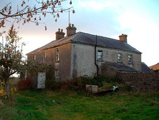 Johnstown Househouse · 1.2 mi
 Srudarra IslandIslet · 1.6 mi
 WestmeathVisitor information · 2.5 mi
 Baronstown ForestWood · 4.4 mi
 Horse-chestnutHorse-chestnut · 4.6 mi
 Bridge Memorial (Kenna)Memorial · 4.7 mi