What is recorded here
Scartlea Lower held two earth rings, including Lios na Scoile on Hick's farm, until ploughs and progress erased them. The largest measured thirty-five metres across on a north-facing slope, large enough to exclude herds or perhaps invite fairy trouble. Human hands built the bank, but forgetting and steel removed it. What remains is a absent circle, visible only when someone remembers the shape it once kept.
In tillage, on N-facing slope. Shown on 1842 OS 6-inch map as circular enclosure (diam. c. 35m). Levelled; no visible surface trace. According to Power (1940, 102) 'There were two lioses - one (Lios na Scoile) on Hick's farm and recently destroyed....'
The above description is derived from the published 'Archaeological Inventory of County Cork. Volume 2: East and South Cork' (Dublin: Stationery Office, 1994). In certain instances the entries have been revised and updated in the light of recent research.
Date of upload/revision: 14 January 2009
The monument record does not grant public access. Check the route and ask the landowner before entering private land.
- What survives
- Recorded monument
Places near here
 sign postsign post · 374 yd
 Catholic ChurchChurch · 398 yd
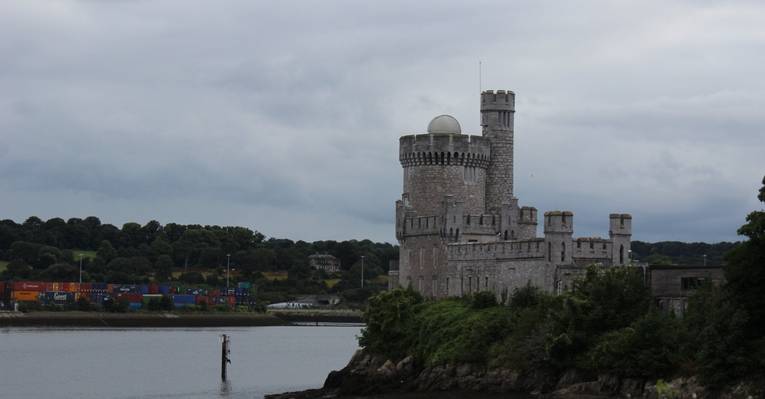 Fulacht fia in CastlemaryFulacht fia · 1099 yd
 Burnt mound in Bawnard WestBurnt mound · 1121 yd
 Garrankinnefeake GraveyardRuins · 1445 yd
 Japanese cedarJapanese cedar · 1546 yd
 European YewEuropean Yew · 1637 yd
 (Site of) CastleCastle, unclassified · 1.5 mi
 Bagwells TowerCastle · 1.8 mi
 Site of old schoolHeritage attraction · 2.5 mi
 US Naval Air Station USNAS QueenstownHeritage attraction · 2.6 mi
 Graveyard in AghadaGraveyard · 2.9 mi