What is recorded here
Seven-eighths of the fort vanished under the plough, leaving only a stubborn earthen arc to mark the lost circle. The remaining bank rises a metre internally, blocking the overgrown interior where bushes still tangle the forgotten centre. Local memory preserves the shape even when the soil forgot it, transforming a damaged boundary into a living fairy fort.
In pasture, on S-facing slope. Arc formed by earthen bank (int. H 1.2m; ext. H 0.45m) WNW->NE exists on NW side of NE-SW townland boundary. Strong local tradition of fort here; no visible surface trace of rest of circle continuing from existing arc. Bank and interior heavily overgrown with bushes; area of interior inaccessible. Recorded by Bowman (1934, 130) as single-ramparted fort (diam. c. 45yd) on Mrs O'Sullivan's land, with boundary fence running through it, 'cutting off about seven-eights [sic], which portion is now levelled'.
The above description is derived from the published 'Archaeological Inventory of County Cork. Volume 4: North Cork' (Dublin: Stationery Office, 2000). In certain instances the entries have been revised and updated in the light of recent research.
Date of upload/revision: 14 January 2009
The monument record does not grant public access. Check the route and ask the landowner before entering private land.
- What survives
- Recorded monument
Places near here
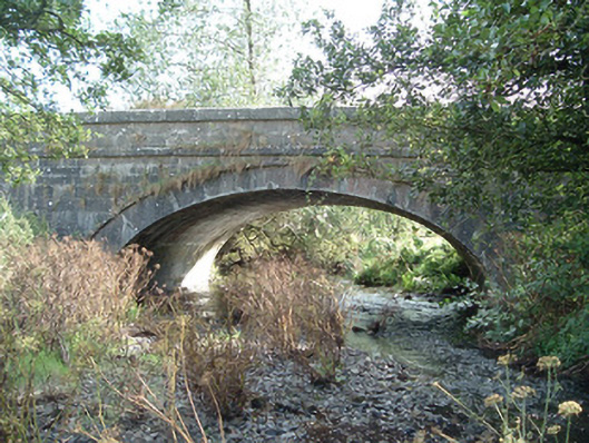 Aldworth's Bridgebridge · 1093 yd
 Church in Scarteen UpperChurch · 1327 yd
 Trinity WellHoly well · 1429 yd
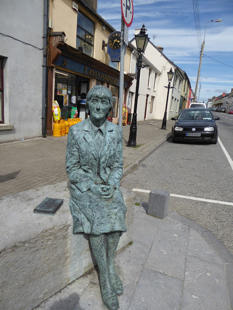 Alice Taylor MonumentMonument · 1549 yd
 CastleCastle, unclassified · 1.1 mi
 Castle McAuliffe (Site of)Castle, unclassified · 2.0 mi
 Stanner's Glen, Priory WoodWood · 2.3 mi
 KnockacummerMountain / peak · 4.5 mi
 TaurMountain / peak · 4.9 mi
 Hanna SheehyMemorial · 5.4 mi
 Kanturk CastleHeritage attraction · 6.2 mi
 Burial ground in AssolasBurial ground · 7.9 mi