What is recorded here
Scart holds a thirty-metre earthen ring with opposite gaps that invite entry rather than keep invaders out. It stands beside another fort, marking a busy landscape where people likely lived, herded, or met before the stones forgot their names. The fairies may have taken the credit later, but the shape still fits human hands and human choice.
In pasture, on gentle E-facing slope. Depicted on 1842 OS 6-inch map as hachured circular enclosure (diam. c. 30m); as hachured arc depicting scarp ENE->SW on 1905 and 1936 OS 6-inch maps. Circular area (30m N-S; 30m E-W) enclosed by low rise (max. H 0.6m). Break in bank to E (Wth 4m) and W (Wth 4.5m) with slight causeway. Low rise in NW quadrant of interior. Circular enclosure visible as shadow site of bank, with possible second bank NE->S, in aerial photograph (CASAP). Ringfort (CO018-048---) lies c. 28m to NW.
The above description is derived from the published 'Archaeological Inventory of County Cork. Volume 4: North Cork' (Dublin: Stationery Office, 2000). In certain instances the entries have been revised and updated in the light of recent research.
Date of upload/revision: 14 January 2009
The monument record does not grant public access. Check the route and ask the landowner before entering private land.
- What survives
- Recorded monument
Places near here
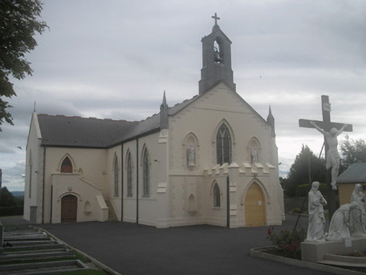 Saint Bartholomew’s Churchchurch/chapel · 184 yd
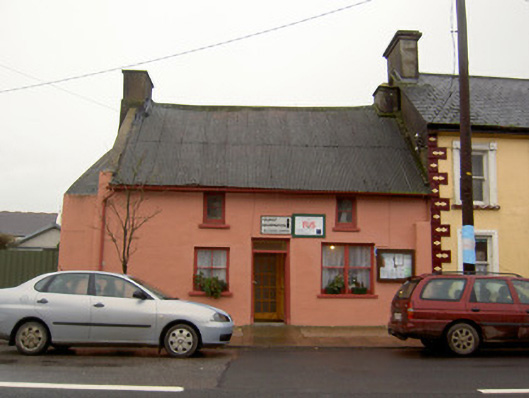 Tourist Information/Fás Officehouse · 246 yd
 Castletown Castle (Site of)Castle, unclassified · 1076 yd
 Ballyenehan Castle (Site of)Castle, unclassified · 1264 yd
 Flat cemetery in Ballyenahan NorthFlat cemetery · 1569 yd
 Mass-rock in FarahyMass-rock · 1743 yd
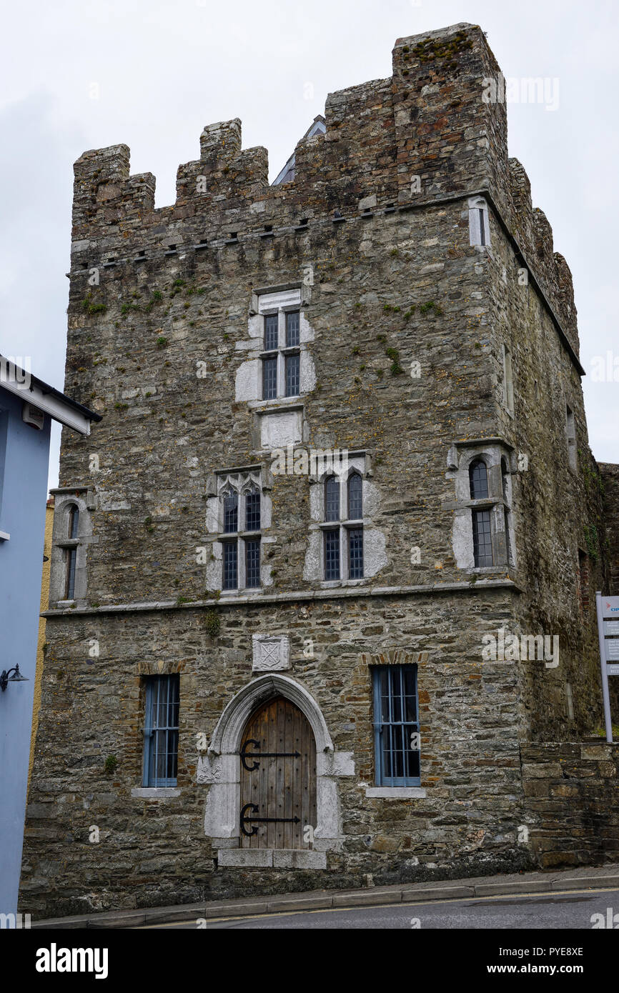 Fulacht fia in OldcastletownFulacht fia · 1.0 mi
 North Meadow WoodForest · 1.8 mi
 Horse Field WoodForest · 1.9 mi
 CarrigeenamronetyMountain / peak · 3.5 mi
 Anne's Grove GardensHeritage attraction · 3.9 mi
 Graveyard in BoherashGraveyard · 4.8 mi