What is recorded here
Fairy fort / earthen ringfort in Scart (condons and Clongibbon By.) stands in pasture on a gentle E-facing slope, its circular slightly raised area measuring 26m N-S and 24m E-W. An earthen bank encloses the space, reaching 0.7m internally and 1.7m externally from NE to NNW, while a 1m scarp defines the remainder. The low, denuded bank exposes many stones, and an external fosse survives as a slight depression to SW and W. A causewayed entrance 2m wide opens to SSW, facing a ringfort located 28m to SE.
In pasture, on gentle E-facing slope. Circular slightly raised area (26m N-S; 24m E-W) enclosed by earthen bank (int. H 0.7m; ext. H 1.7m) NE->NNW; scarp (H 1m) elsewhere. Bank low and denuded, with many stones exposed. External fosse survives to SW and W as slight depression. Causewayed entrance (Wth 2m) to SSW. Ringfort (CO018-049---) lies c. 28m to SE.
See also:
July 2000 - unpublished archaeological report by Archaeological Services Unit, UCC.
The above description is derived from the published 'Archaeological Inventory of County Cork. Volume 4: North Cork' (Dublin: Stationery Office, 2000). In certain instances the entries have been revised and updated in the light of recent research.
Date of upload/revision: 14 January 2009
The monument record does not grant public access. Check the route and ask the landowner before entering private land.
- What survives
- Recorded monument
Places near here
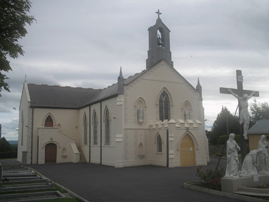 Saint Bartholomew’s Churchchurch/chapel · 164 yd
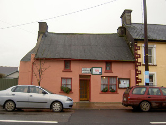 Tourist Information/Fás Officehouse · 212 yd
 Castletown Castle (Site of)Castle, unclassified · 1031 yd
 Ballyenehan Castle (Site of)Castle, unclassified · 1310 yd
 Flat cemetery in Ballyenahan NorthFlat cemetery · 1622 yd
 Mass-rock in FarahyMass-rock · 1.0 mi
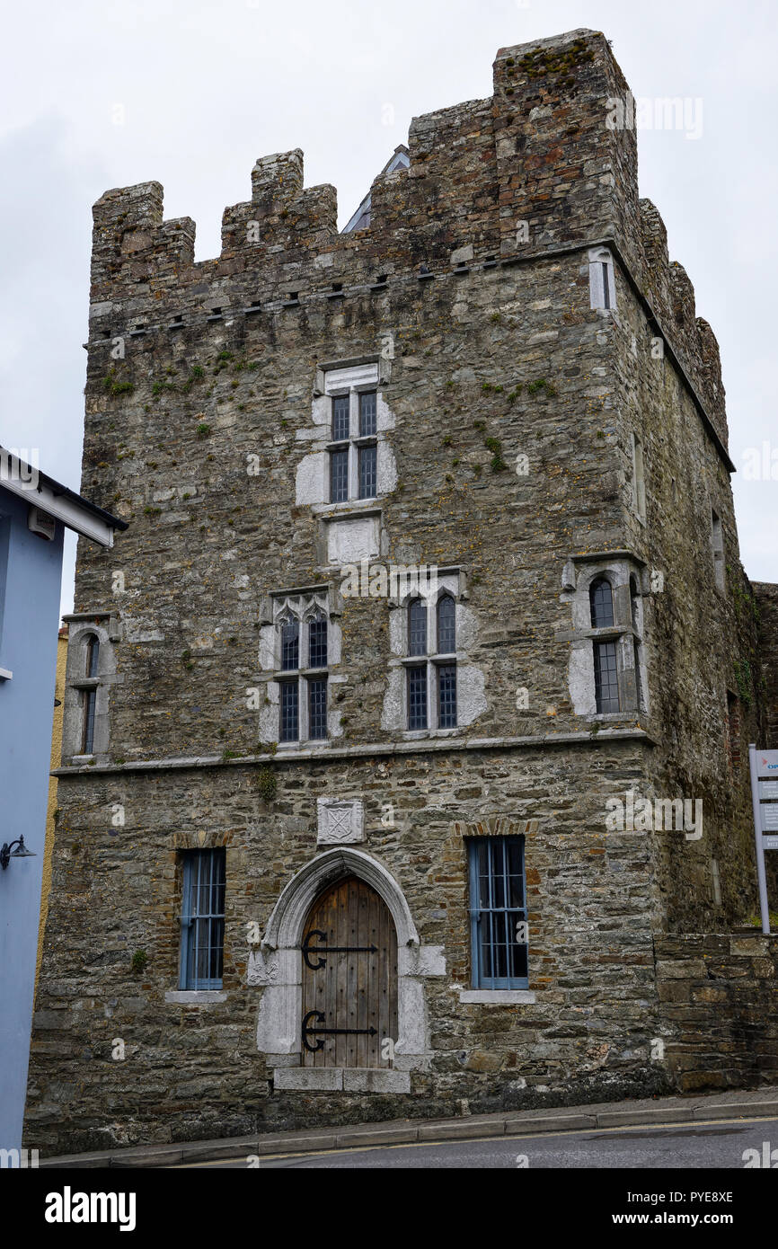 Fulacht fia in OldcastletownFulacht fia · 1.0 mi
 North Meadow WoodForest · 1.8 mi
 Horse Field WoodForest · 1.9 mi
 CarrigeenamronetyMountain / peak · 3.5 mi
 Anne's Grove GardensHeritage attraction · 3.9 mi
 Coolfree MountainMountain / peak · 4.2 mi