What is recorded here
Fairy fort / earthen ringfort in Sandyhill is a fairy fort or earthen ringfort in Sandyhill, County Sligo, Ireland. The circular earthwork measures about 32 metres across on a low rise. A five-metre-wide bank stands one metre high along the southeast and southwest, while a shallow seven-metre-wide ditch runs outside those same arcs. The interior floor sits between 0.7 and 1.25 metres above the surrounding ground, but the northwest edge has recently been cut back.
On a low rise. A raised circular area (diam. c. 32m) defined by an earthen bank (Wth 5m; int. H 1m) along the SE and SW arcs and by a scarp elsewhere. A shallow external fosse (Wth c. 7m; D 0.10m) is evident along the SE, S and SW arcs. The edge of the rath has recently been truncated at NW. The interior is raised 0.7m to 1.25m above external ground level. A field boundary and a lane skirt the edge of the rath NNW-E.
The above description is derived from the published 'Archaeological Inventory of County Sligo' compiled by Ursula Egan, Elizabeth Byrne, Mary Sleeman with Sheila Ronan and Connie Murphy (Dublin Stationery Office, 2005).
Date of upload: 18 January 2008
The monument record does not grant public access. Check the route and ask the landowner before entering private land.
- What survives
- Recorded monument
Places near here
 TobernacullyHoly well · 589 yd
 Man-made underground passage in BunnacranaghMan-made underground passage · 680 yd
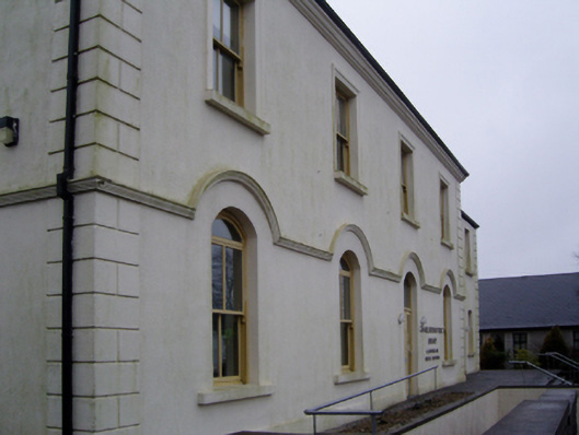 Charlestown Town Hall Arts Centretown/county hall · 1.1 mi
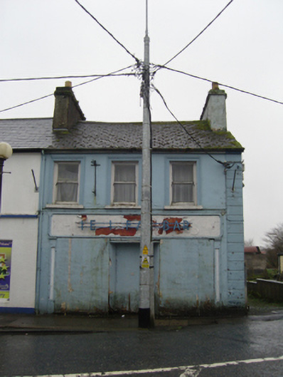 The Ideal Barhouse · 1.1 mi
 Old Cave Burial GroundArchaeological place · 4.1 mi
 Castle (Site of)Castle, unclassified · 4.9 mi
 Procession Of The SoulsMemorial · 6.8 mi
 Brabazon WoodsForest · 6.9 mi
 Castle (in Ruins)Castle, tower house · 7.1 mi
 HawthornHawthorn · 7.7 mi
 Bockagh HillMountain / peak · 7.9 mi
 East Mayo Brigade MonumentMemorial · 8.6 mi