What is recorded here
Forty metres of forgotten anger still circle Sandville, though grass has swallowed the bite. The fairies built the fort to keep humans out, but humans kept building farms until the fort disappeared into ordinary fields. What remains is a low ridge and shallow ditch, barely visible unless rain exposes the shape or a child runs barefoot along the bank and feels the boundary tighten.
In level pasture. Depicted as hachured circular enclosure on 1935 OS 6-inch map. Circular area (40m N-S; 38m E-W) defined by low rise (ext. H 0.45m) and shallow external fosse. Bank topped by fence where incorporated into field boundary system to S.
The above description is derived from the published 'Archaeological Inventory of County Cork. Volume 4: North Cork' (Dublin: Stationery Office, 2000). In certain instances the entries have been revised and updated in the light of recent research.
Date of upload/revision: 14 January 2009
The monument record does not grant public access. Check the route and ask the landowner before entering private land.
- What survives
- Recorded monument
Places near here
 Man-made underground passageMan-made underground passage · 1046 yd
 AltarMass-rock · 1396 yd
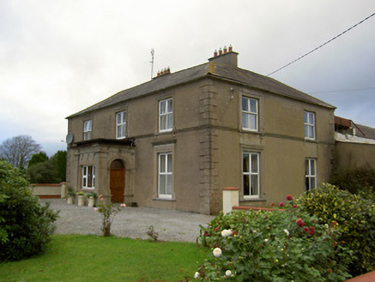 Lisnagoorneen Househouse · 1.1 mi
 Saint Patrick's National Schoolschool · 1.6 mi
 Graveyard in BoherashGraveyard · 1.7 mi
 St Dominick's WellSpring · 1.7 mi
 Glanworth Castle (in Ruins)Castle, Anglo-Norman masonry castle · 1.8 mi
 Glanworth CastleCastle · 1.8 mi
 Anne's Grove GardensHeritage attraction · 3.0 mi
 Flat cemetery in Ballyenahan NorthFlat cemetery · 3.2 mi
 Blackwater (Avondhu) WayWalking route · 3.2 mi
 Priest's WoodForest · 3.9 mi