What is recorded here
No visible fort remains in Rusheenmore, but local memory preserves a hidden chamber beneath the soil. That absence is not emptiness; it is a invitation to listen for the shape of what was forgotten. The earth keeps its own architecture, waiting for someone patient enough to ask it without forcing an answer.
In the 1940s an 'old fort', with a Man-made underground passage (KE075-022001-), was recorded on Con Donoghue's land (Schools Manuscript, Co. Kerry). This rath has not been precisely located.
Compiled by: Elizabeth Byrne, Ursula Egan and Sheila Ronan, Archaeological Survey Unit, University College, Cork.
Date of upload: 31 January 2011
The monument record does not grant public access. Check the route and ask the landowner before entering private land.
- What survives
- Recorded monument
Places near here
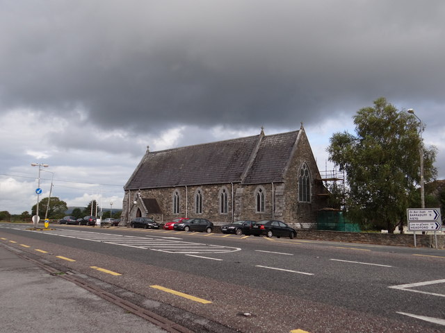 Saint Agatha's Catholic Churchchurch/chapel · 1071 yd
 SheepfoldEnclosure · 1302 yd
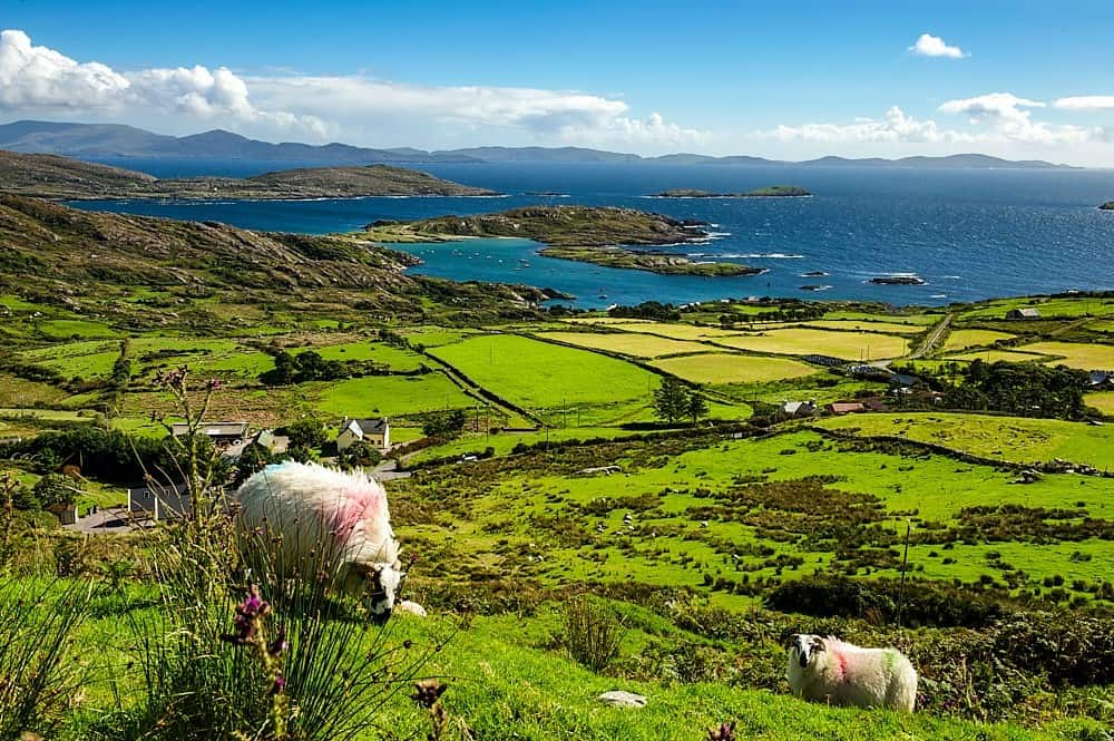 IndicatedChurch · 1604 yd
 Hut site in GarriesHut site · 1.1 mi
 CrohaneMountain / peak · 1.2 mi
 Killaha Castle (in Ruins)Castle, tower house · 1.4 mi
 CoolcurtogaMountain / peak · 2.4 mi
 BarraduffMemorial · 4.0 mi
 TooreencormickBattlefield · 4.8 mi
 Blue Pool Nature ReserveWood · 5.1 mi
 Sheheree Bog Nature ReserveNature reserve · 5.4 mi
 Hidden Valley Pet FarmHeritage attraction · 5.4 mi