What is recorded here
Fairy fort / earthen ringfort in Runnamoat is a fairy fort or earthen ringfort in Runnamoat, County Roscommon, Ireland. The D-shaped grass-covered area measures 27.7 metres east-west and 24 metres north-south at the bottom of a northeast-facing slope beside a canalized stream. A slight bank and outer fosse define most of the perimeter, although the northwest to northeast section has eroded due to the water. No original entrance remains identifiable.
At the bottom of a NE-facing slope beside a canalized WNW-ESE stream. D-shaped grass-covered area (dims 27.7m E-W; 24m N-S) defined by a slight bank (Wth 4.2-5.2m; int. H 0.2-0.3m; ext. H 0.4-0.6m) NE-S-NW, and an outer fosse (Wth of top 5.7m; D 0.1m) ENE-SE and SW-NW. The perimeter NW-NE has been eroded by the stream. There is no identifiable original entrance.
Compiled by: Michael Moore
Date of upload: 24 August 2010
The monument record does not grant public access. Check the route and ask the landowner before entering private land.
- What survives
- Recorded monument
Places near here
 IndicatedFairy fort / earthen ringfort · 376 yd
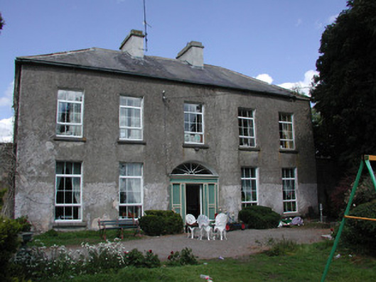 Ballymacurly Househouse · 679 yd
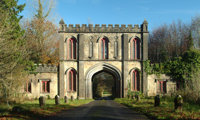 Enclosure in Ardlagheen BegEnclosure · 894 yd
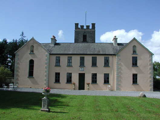 Highlake Housemonastery · 1.4 mi
 HawthornHawthorn · 2.0 mi
 CastleCastle, Anglo-Norman masonry castle · 5.1 mi
 European ashEuropean ash · 5.2 mi
 CastlerubyCastle, unclassified · 5.6 mi
 Roscommon CastleCastle · 5.9 mi
 Site of Killomaine Grave YardArchaeological place · 6.5 mi
 Sally IslandIslet · 8.4 mi
 Mount MaryMountain / peak · 9.2 mi