What is recorded here
Fairy fort in Roxborough, County Galway: a 37m earthen ring, two banks and a fosse, cut through by a field wall. The wall has levelled part of it, yet a stony patch and slight dip still trace the buried line. Another rath sits 120m to the south-west, as if the hillside kept two circles instead of one. Cattle graze across them now; the fairies, if they are there, have learned to share their fortress with ordinary life.
On a gentle rise in undulating pastureland. Poorly preserved circular rath (diam. c. 37m) defined by two banks and an intervening fosse from WNW through N to NE. A field wall cuts through it at WNW and NE and to the S of it the wall it has been levelled. However, its outline is visible as a stony patch with a slight dip indicating the line of the fosse. Another rath (GA114-157----) lies c. 120m to the SSW.
Compiled by: Galway Archaeological Survey, UCG
Date of upload: 8 March 2018
The monument record does not grant public access. Check the route and ask the landowner before entering private land.
- What survives
- Recorded monument
Places near here
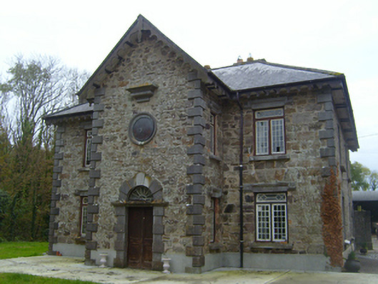 Roxboroughsteward's house · 860 yd
 Enclosure in CastleparkEnclosure · 1261 yd
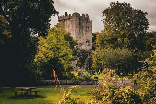 Bawn in CastleparkBawn · 1266 yd
 Man-made underground passage in BallymullenMan-made underground passage · 1395 yd
 Flour and Corn MillMill, corn · 1.1 mi
 Bawn in Deerpark (kilchreest Ed)Bawn · 1.1 mi
 Scalpeen RockNamed rock · 4.6 mi
 KnockapollboyMountain / peak · 4.8 mi
 Blake's IslandIslet · 5.3 mi
 HawthornHawthorn · 5.3 mi
 European ashEuropean ash · 5.3 mi
 Drumacoo Monastic SiteHeritage attraction · 8.5 mi