
What is recorded here
In flat open pastureland. Aerial reconnaissance in July 1970 (CUCAP BDN 50; see https://www.cambridgeairphotos.com/location/bdn050/ last accessed 11/06/2019) brought to light this large rectangular enclosure (c. 85m NE-SW; 75m NW-SE), which extends off the N side of the bawn (GA114-054001-) associated with ‘Isert Kelly Castle’ (GA114-054----). The enclosure is defined by a barely perceptible inner bank (base Wth 7.24; int. H 0.44m; ext. H 0.16m), fosse (Wth 4.23m) and outer bank (base Wth 5.29m; int. H 0.2m; ext. H 0.12m). The outer bank is only clearly visible along the N side. A curving bank visible in the NW corner of the interior may mark an internal division. The bank along the W side continues further NW for a distance of c. 267m while that on the E side extends c. 135m to the NE. These banks may be part of an associated field. A possible cross bank visible on the aerial photograph suggests that this field was further subdivided.
Compiled by: Olive Alcock
Date of upload: 11 June 2019
The monument record does not grant public access. Check the route and ask the landowner before entering private land.
- What survives
- Recorded monument
Places near here
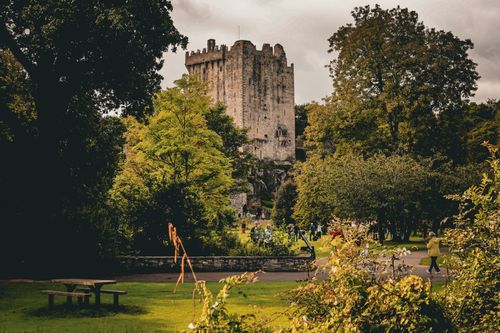 Bawn in CastleparkBawn · 92 yd
 IndicatedEnclosure · 1568 yd
 Designed landscapeDesigned landscape, folly · 1614 yd
 Castleboyfolly · 1630 yd
 Castle (in ruins)Castle, Anglo-Norman masonry castle · 1654 yd
 Church in CastleboyChurch · 1.1 mi
 HawthornHawthorn · 4.6 mi
 European ashEuropean ash · 4.6 mi
 KnockapollboyMountain / peak · 4.7 mi
 Scalpeen RockNamed rock · 4.8 mi
 Derrybrien Bog SlideHeritage attraction · 7.0 mi
 Drumacoo Monastic SiteHeritage attraction · 8.1 mi
Other information
Photo: Credit not shown in the picture search · Rights wording not checked; contact us if this picture should be removed