What is recorded here
Fairy fort in Roxborough, County Galway: a circular rath, twenty-eight metres across, still standing on its low hillock beneath pasture. Its bank survives best from northwest to northeast, where a level step marks the old ground line, while a possible underground passage opens off-centre to the west. People may have lived, hidden or worshipped there before the field closed around it; the name suggests they also believed the fort belonged to fairy kind.
In gently undulating pasture on top of low hillock; there is a small-scale quarry to the N and a large natural depression to the ENE. This circular rath (diam. 28m) is defined by the remains of low bank (int. H 0.45m; ext. H 0.55m; Wth 4.5m) which is reduced to a scarp in places. The bank (int. H 1.0m; ext. H 0.25m; Wth 6.1m) is best preserved from NW to NE where an external level step (Wth 0.65m) at the base of the bank may mark the top of the hillock. The remains of a low field bank enclose the monument to the N, E and S. A possible Man-made underground passage (GA104-291001-) is visible off-centre to the W.
Compiled by: Olive Alcock
Date of upload: 24 October 2019
The monument record does not grant public access. Check the route and ask the landowner before entering private land.
- What survives
- Recorded monument
Places near here
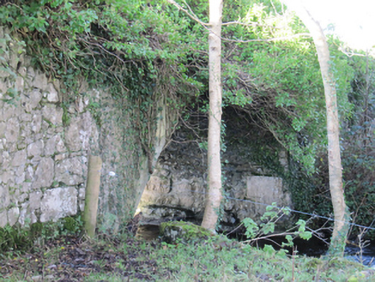 Roxboroughbridge · 428 yd
 Flour and Corn MillMill, corn · 605 yd
 CaveMan-made underground passage · 985 yd
 Enclosure in Ballygarraun (loughrea By.)Enclosure · 1044 yd
 Bawn in Deerpark (kilchreest Ed)Bawn · 1076 yd
 Cregg Castle (in ruins)Castle, tower house · 1.0 mi
 Scalpeen RockNamed rock · 4.5 mi
 Ash IslandIslet · 4.6 mi
 Blake's IslandIslet · 4.6 mi
 KnockapollboyMountain / peak · 4.9 mi
 HawthornHawthorn · 6.0 mi
 European ashEuropean ash · 6.0 mi