What is recorded here
Fairy fort / earthen ringfort in Rowgarrane stood in pasture on a south-facing slope, mapping as a circular enclosure about thirty-five metres across before levelled beyond trace. Whether it excluded people or invited them is no longer visible, but the vanished circle still marks the difference between knowing and imagining.
In pasture, on S-facing slope. Shown on 1842 OS 6-inch map as circular enclosure (diam. c. 35m). Levelled; no vislble surface trace.
The above description is derived from the published 'Archaeological Inventory of County Cork. Volume 2: East and South Cork' (Dublin: Stationery Office, 1994). In certain instances the entries have been revised and updated in the light of recent research.
Date of upload/revision: 14 January 2009
The monument record does not grant public access. Check the route and ask the landowner before entering private land.
- What survives
- Recorded monument
Places near here
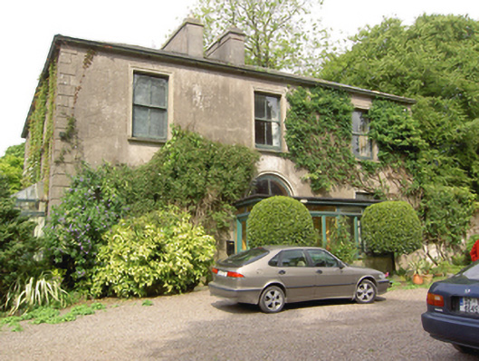 Marysborough Housecountry house · 335 yd
 Grave YardGraveyard · 461 yd
 Glenburne Housecountry house · 918 yd
 Old Court (Site of)Castle, unclassified · 1404 yd
 Architectural fragment in BallinglannaArchitectural fragment · 1567 yd
 Carberrytown WoodWood · 1.0 mi
 Ashbourne ParkWood · 1.8 mi
 Castle (Site of)Castle, unclassified · 2.2 mi
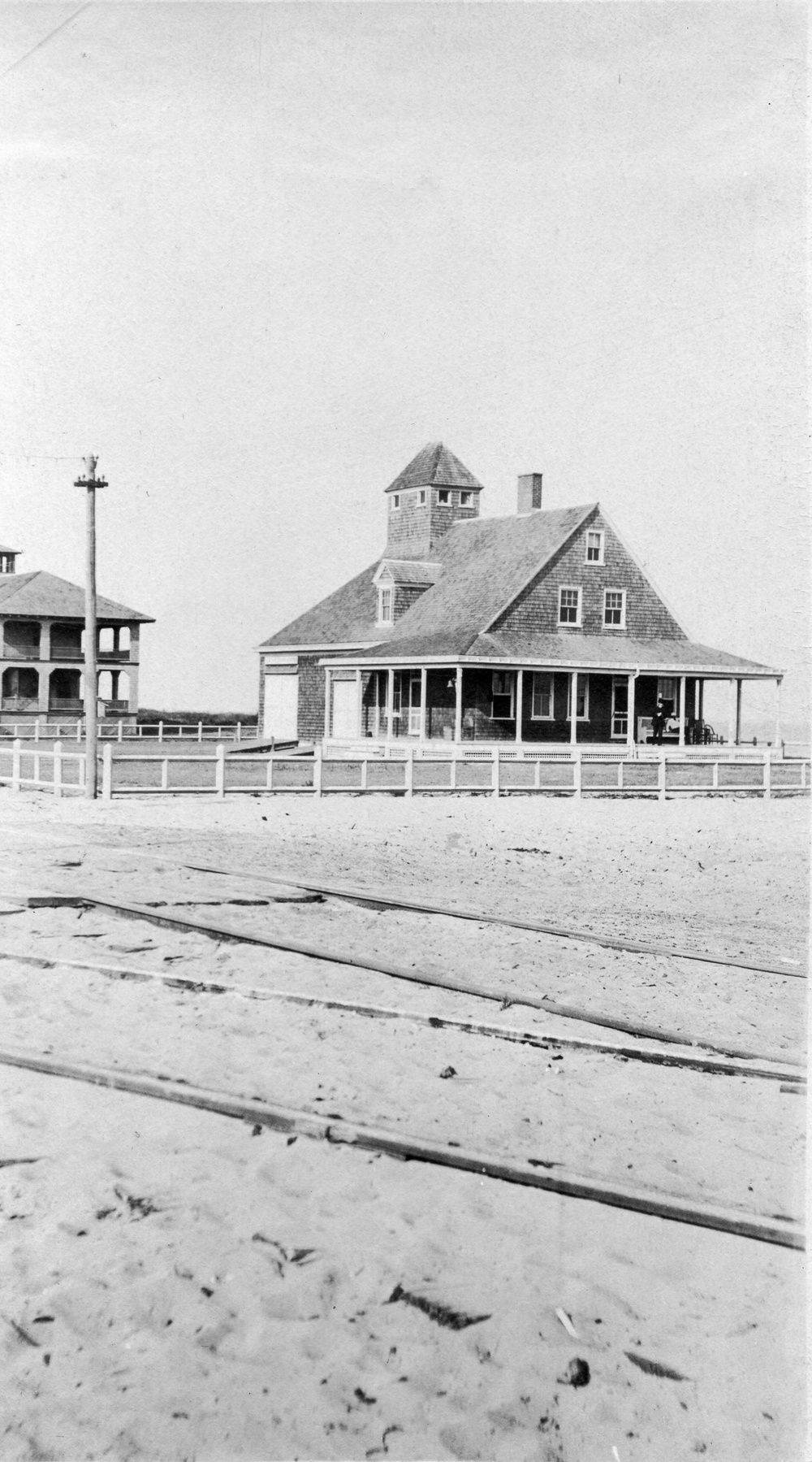 Old coast guard station ruinRuins · 2.3 mi
 Cork WalksVisitor information · 4.3 mi
 Lavitts QuayMemorial · 4.7 mi
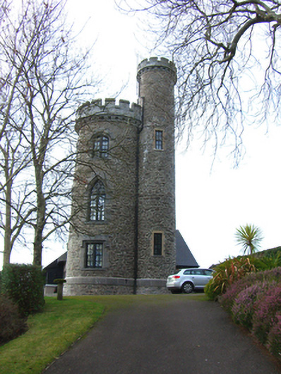 Father Mathew Towerfolly · 1326 yd