What is recorded here
Half a circle of earth and shadow still marks the hillock above the Kerry River, though roads and fields have cut through its northern arc. The remaining bank rises two and a half metres before dropping into a forgotten ditch, while a hidden passage waits beneath the grass. People may have lived there, feared there or simply passed it with a nod, but the land kept the shape long after human hands stopped making it.
On an overgrown flat-topped hillock overlooking the Kerry River valley to the SE and surrounded by steep-sided mountains elsewhere. A semicircular area (diam. c. 28m SE-NW) enclosed by intermittent traces of an earthen bank (Wth 2m; int. H 0.15m; ext. H 2.6m to the base of the fosse) SE-NW and by an external overgrown fosse (Wth 2.5m; ext. H c. 0.5m) SE-NW on top of which a more recent earth and stone field boundary has been erected. A linear roadside boundary cuts through the N arc of the rath and a N-S field boundary roughly bisects the interior. The enclosing element NW-SE is largely gone except for traces of the bank and fosse at ESE. A Man-made underground passage (CO090-015002-) is located within the rath.
The above description is derived from 'The Archaeological Inventory of County Cork. Volume 5' (Dublin: Stationery Office, 2009).
Date of upload: 22 December 2009
The monument record does not grant public access. Check the route and ask the landowner before entering private land.
- What survives
- Recorded monument
Places near here
 Boulder-burial in RoughamBoulder-burial · 247 yd
 Enclosure in RoughamEnclosure · 775 yd
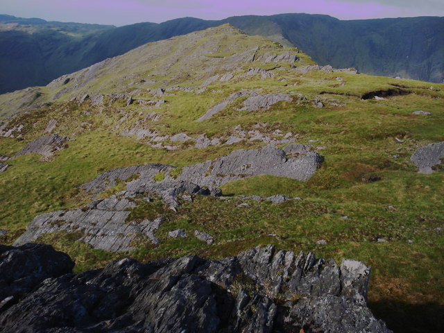 Killane Mountain South-West TopMountain / peak · 992 yd
 Caha Far SE TopMountain / peak · 1381 yd
 Old Stone CottagesHeritage attraction · 1.9 mi
 DroppaCliff · 2.5 mi
 Gleninchaquin WaterfallWaterfall · 2.5 mi
 Glengarriff WoodsWood · 2.6 mi
 Gleninchaquin ParkHeritage attraction · 2.7 mi
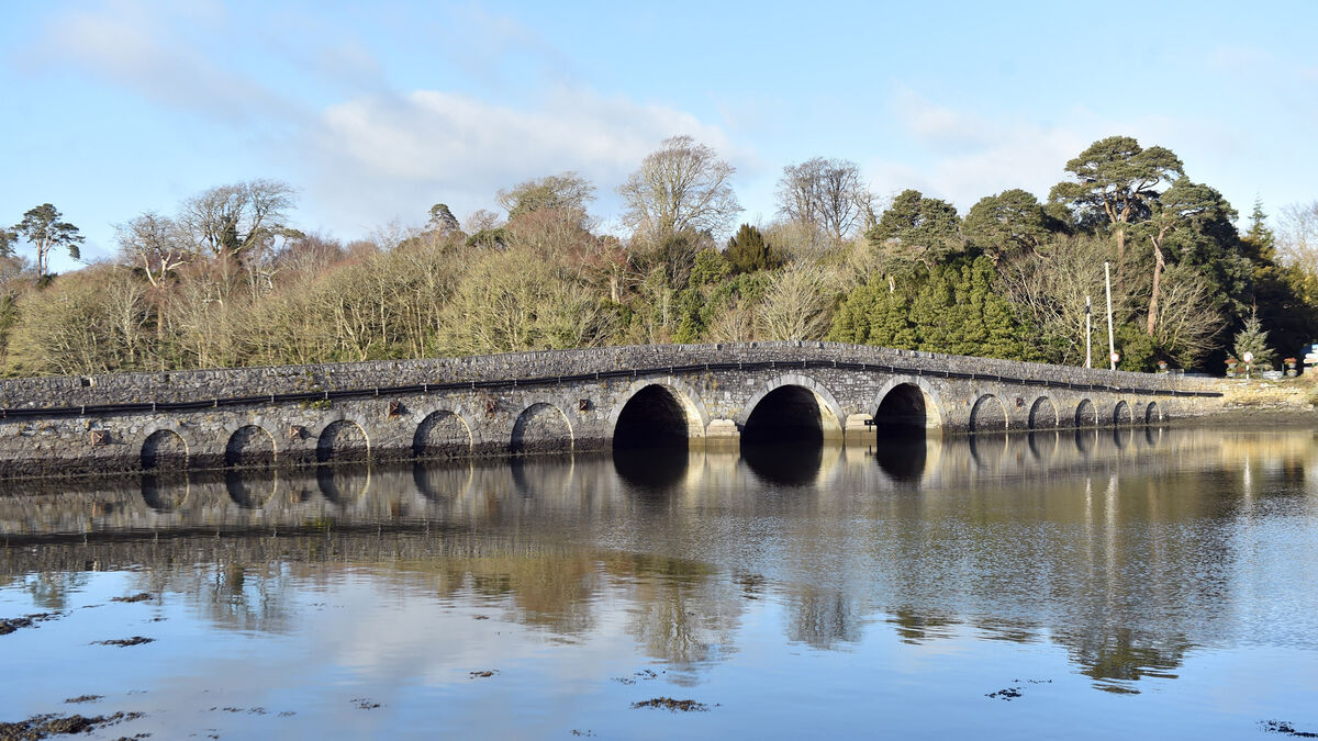 Bridge in Coorannel,derrynafullaBridge · 2.8 mi
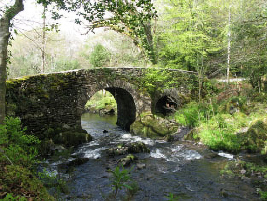 Glengarriff Nature Reservebridge · 2.9 mi
 Lady Bantry's LookoutViewpoint · 3.1 mi