What is recorded here
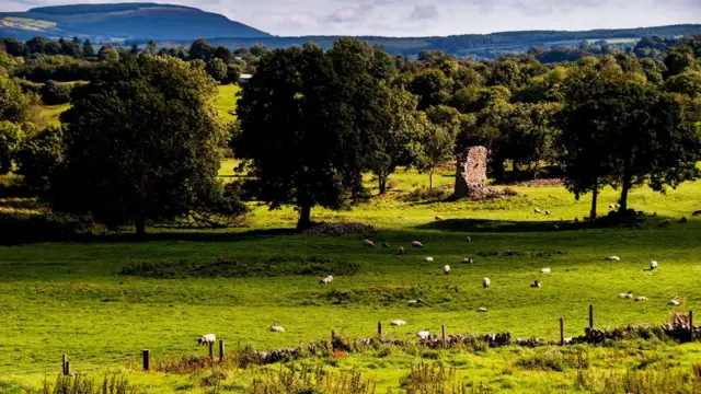
No visible trace remains at Rossline, though local memory still names a fairy fort in that soil. Bowman measured two single-rampart rings nearby in 1934, one thirty-nine yards across and the other twenty-seven, yet nobody has pointed to which is which. The earth may have swallowed the choice, leaving behind a border between human history and the kind of ownership that does not answer questions.
Local tradition of fort here. Permission to visit site refused. Possibly one of two forts described by Bowman (1934, 431) on land of Joseph Nunan; both single ramparted, measuring 39 yards and 27 yards.
The above description is derived from the published 'Archaeological Inventory of County Cork. Volume 4: North Cork' (Dublin: Stationery Office, 2000). In certain instances the entries have been revised and updated in the light of recent research.
Date of upload/revision: 14 January 2009
The monument record does not grant public access. Check the route and ask the landowner before entering private land.
- What survives
- Recorded monument
Places near here
 Grave YardGraveyard · 597 yd
 Kilcorcoran Church (Site of)Church · 612 yd
 IndicatedHouse, vernacular house · 817 yd
 Rossacon HouseCountry house · 1.2 mi
 Stanner's Glen, Priory WoodWood · 1.4 mi
 Carrig Castle (Site of)Castle, unclassified · 2.3 mi
 Hanna SheehyMemorial · 2.5 mi
 Kanturk CastleHeritage attraction · 3.5 mi
 Castle McAuliffe (Site of)Castle, unclassified · 3.7 mi
 Burial ground in AssolasBurial ground · 4.6 mi
 European YewEuropean Yew · 4.8 mi
 St Fursey's WellSpring · 5.7 mi