What is recorded here
Rosskeeragh holds a twenty-one-metre circular scar where human hands raised an earthen bank before ploughs and forgetting smoothed it into the Cavan soil. The field boundary still cuts the ghost in two, and a possible hut crouches twenty metres north-west, suggesting someone lived beside rather than inside the fort. Fairy fort is the name people gave what they could no longer explain: a shape without an entrance, a room without a roof, a circle that refused to disappear.
Raised circular area (int. diam. 21.6m) enclosed by a low much-denuded earthen bank and vague traces of a fosse. The site is divided into equal portions by a field boundary running WNW-ESE. Although site has been levelled to SSW, its outline is still identifiable. Original entrance not recognisable. A possible hut site lies c. 20m NW of rath (CV015-069002-)
The above description is derived from the published 'Archaeological Inventory of County Cavan' (Dublin: Stationery Office, 1995). In certain instances the entries have been revised and updated in the light of recent research.
Date of upload/revision: 22 December 2008
The monument record does not grant public access. Check the route and ask the landowner before entering private land.
- What survives
- Recorded monument
Places near here
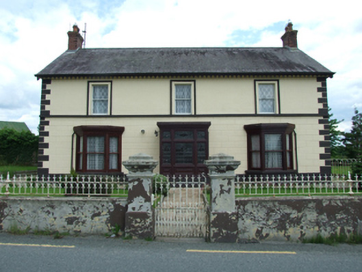 Sugarloafhouse · 839 yd
 Friar's FortArchaeological place · 1015 yd
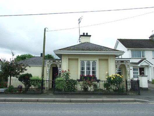 Erne Hill Lodgegate lodge · 1024 yd
 Friars Fort (Site of)Enclosure · 1025 yd
 Belturbet Heritage Railway Station MuseumMuseum · 1374 yd
 Welcome to Belturbet StationVisitor information · 1385 yd
 Belturbet Railway Station Visitor CentreHeritage attraction · 1390 yd
 Putiaghan Lower ForestForest · 1421 yd
 Bomb Victims MemorialMemorial · 1729 yd
 Turbet IslandWood · 1.1 mi
 Mill WalkVisitor information · 1.1 mi
 Turbet Island Castle Motte and BaileyArchaeological place · 1.1 mi