What is recorded here
Fairy fort / earthen ringfort in Ross Beg is a fairy fort or earthen ringfort in Ross Beg, County Roscommon, Ireland. It occupies a D-shaped grass-covered area measuring 36m east-west and 23m north-south on the north-facing slope of an east-west ridge. A 0.3m scarp defines the northwest and east edges, while field banks truncate the west and south sides. Another rath lies 150m to the southwest.
Marked only on the 1927 ed. of the OS 6-inch map, and situated towards the top of the N-facing slope of an E-W ridge. D-shaped grass-covered area (dims 36m E-W; 23m N-S) defined by a scarp (H 0.3m) NW-E, but it is truncated by a N-S field bank at W and an E-W field bank at S. There is no visible fosse or identifiable original entrance. Rath (RO022-041----) is c. 150m to the SW.
Compiled by: Michael Moore
Date of upload: 24 August 2010
The monument record does not grant public access. Check the route and ask the landowner before entering private land.
- What survives
- Recorded monument
Places near here
 Lissabully FortFairy fort / earthen ringfort · 214 yd
 Lisinnamoon FortEnclosure · 671 yd
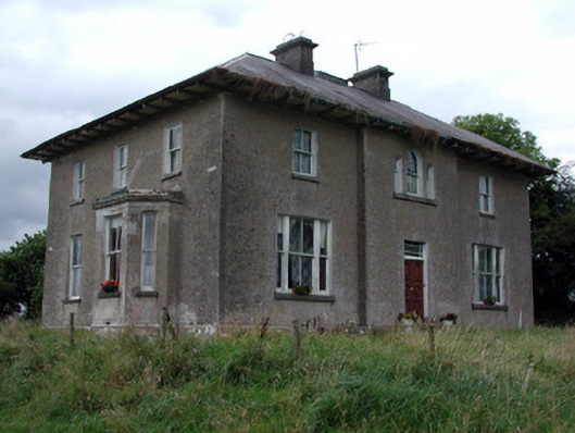 Rossmore Househouse · 1533 yd
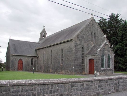 Saint Catherine's Catholic Churchchurch/chapel · 1.1 mi
 War of Independence Commemorative Military MemorialMemorial · 1.5 mi
 CastleCastle, unclassified · 2.9 mi
 Cruachan Aí Heritage CentreMuseum · 3.0 mi
 European ashEuropean ash · 3.3 mi
 ToberagullaSpring · 3.4 mi
 CastlerubyCastle, unclassified · 4.6 mi
 Sweet ChestnutSweet Chestnut · 6.4 mi
 Silver IslandIslet · 9.9 mi