What is recorded here
Fairy fort / earthen ringfort in Rosmore is a fairy fort or earthen ringfort in Rosmore, County Sligo, Ireland. It occupies the west end of a ridge in pasture and contains a raised circular area seventeen metres across. An earthen bank encloses the space, becomes straighter and higher along the east arc, and formed part of a north-south field boundary shown on the 1914 OS map. A crescent shaped area lies immediately east of this linear bank section and was quarried out to a depth of one and a half metres.
In pasture, on top of the W end of a ridge. A raised circular area (int. diam. 17m N-S) enclosed by an earthen bank (Wth 4m; int. H 0.8m; ext. H 1.7m). Along the E arc the bank is straighter and higher than elsewhere as it formed part of N-S field boundary indicated on the 1914 OS 6-inch map. Immediately to E of this linear section of the bank is a crescent shaped area (17m N-S; 5m E-W) quarried out to a depth of 1.5m. A roughly circular hollow (diam. c. 5m), abutting the SW side of the rath, is now partially filled with boulders.
The above description is derived from the published 'Archaeological Inventory of County Sligo' compiled by Ursula Egan, Elizabeth Byrne, Mary Sleeman with Sheila Ronan and Connie Murphy (Dublin Stationery Office, 2005).
Date of upload: 18 January 2008
The monument record does not grant public access. Check the route and ask the landowner before entering private land.
- What survives
- Recorded monument
Places near here
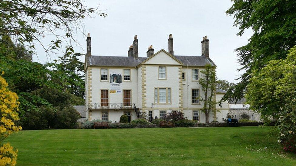 Enclosure in RosmoreEnclosure · 244 yd
 Enclosure in Rusheen (tirerrill By., Ballynakill Ed)Enclosure · 493 yd
 Castle Douglas (Site of)Castle, unclassified · 1484 yd
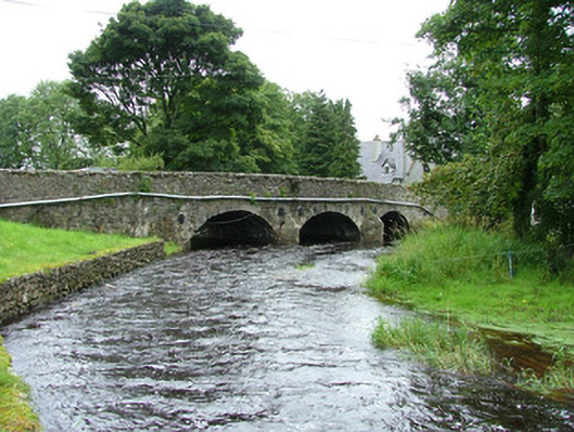 bridgebridge · 1755 yd
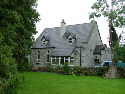 church/chapelchurch/chapel · 1759 yd
 Coola Castle (in Ruins)Bawn · 1.2 mi
 Riverstown Folk ParkHeritage attraction · 1.3 mi
 James MorrisonMemorial · 3.1 mi
 Giants GraveArchaeological place · 4.1 mi
 Field MapleField Maple · 4.3 mi
 Annaghgowla IslandIslet · 4.6 mi
 European ashEuropean ash · 5.0 mi