What is recorded here
Situated at the S end of a N-S ridge in undulating countryside. A raised circular platform (diam. 37m N-S; 43m E-W) defined by a scarp (H 1.5-2m), an outer fosse (Wth 5-6m; D 0.6-0.9m) and an external bank (Wth 3m; ext. H 1m) both of which are only visible at W - elsewhere they have been destroyed. The SW sector of the platform has been quarried away while at SE the scarp has been removed where a possible entrance feature was located.
The above description is derived from 'The Archaeological Inventory of County Tipperary. Vol. 1 - North Tipperary' compiled by Jean Farrelly and Caimin O'Brien (Dublin: Stationery Office, 2002). In certain instances the entries have been revised and updated in the light of recent research.
Date of upload/revision: 22 September 2008
This remains an important historical record, but the official description says the monument is no longer visible or has been destroyed. The monument record does not grant public access. Check the route and ask the landowner before entering private land.
- What survives
- No visible remains or recorded as destroyed
Places near here
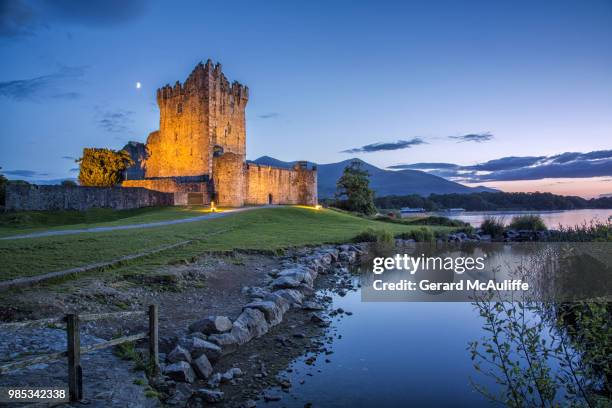 Rorardstown Castle (in Ruins)Castle, unclassified · 969 yd
 Site of Robertstown CastleArchaeological place · 972 yd
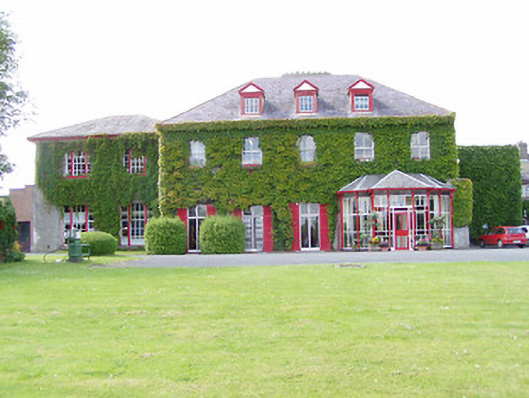 Dovea Housecountry house · 1505 yd
 Enclosure in Dovea UpperEnclosure · 1.1 mi
 Enclosure in Rorardstown UpperEnclosure · 1.2 mi
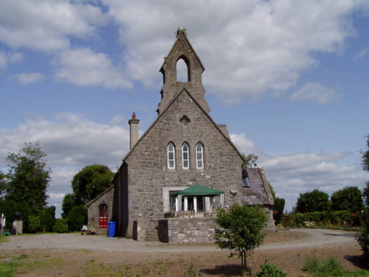 Saint Michael'schurch/chapel · 1.4 mi
 Kilvilcorris BogForest · 1.8 mi
 Morris's GroveForest · 3.5 mi
 Pallas HillMountain / peak · 4.2 mi
 Pheasant IslandHeritage attraction · 4.8 mi
 KnockaneMountain / peak · 4.8 mi
 Lár na PáirceMuseum · 4.8 mi