What is recorded here
No visible trace survives in the level Galway pasture, yet the ground still holds a twenty-four-metre circle. The earth bank has worn so thin it barely rises above the grass, reducing a fortified home to a faint suggestion beneath the hooves of grazing stock. What was once a defensible boundary for people has become a ghost line, visible only when someone knows exactly where to look.
In level pastureland. Classified by McCaffrey (1952, 250, no. 131) as a circular ‘Earthen fort’ (diam. c. 24.4m) defined by an ‘utterly denuded’ bank (Wth 0.92m; H 0.15m). No visible surface trace survives.
Compiled by: Galway Archaeological Survey, UCG
Date of upload: 11 April 2018
The monument record does not grant public access. Check the route and ask the landowner before entering private land.
- What survives
- Recorded monument
Places near here
 Windmill StumpWindmill · 544 yd
 CaveMan-made underground passage · 581 yd
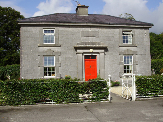 Castle Taylorsteward's house · 967 yd
 Cregaclarefarmyard complex · 1183 yd
 Castle (in ruins)Castle, Anglo-Norman masonry castle · 1.1 mi
 Cloghroak Castle (in ruins)Castle, tower house · 1.3 mi
 Drumharsna CastleHeritage attraction · 2.9 mi
 HawthornHawthorn · 3.8 mi
 European ashEuropean ash · 3.8 mi
 Drumacoo Monastic SiteHeritage attraction · 5.2 mi
 Mulroney's IslandIslet · 6.7 mi
 Kilmacduagh Monastic SiteVisitor information · 9.3 mi