What is recorded here
Ronard’s fairy fort is a 24.8-metre earthen ring where human hands shaped soil into a small defensible world. Fields and vegetation have swallowed its entrance, yet the bank still traces the choice of people who lived, resisted or departed there.
Marked 'Fort' on OS 1836 ed. and 'Site of' on 1876 ed. Raised circular area (int. diam. 24.8m) enclosed by a low earthen bank and possible remains of a fosse. The bank has been incorporated into the field boundary from WNW-NNW, and from NNE-N-E it survives only as a low scarp. Original entrance not recognisable. Very overgrown with vegetation.
The above description is derived from the published 'Archaeological Inventory of County Cavan' (Dublin: Stationery Office, 1995). In certain instances the entries have been revised and updated in the light of recent research.
Date of upload/revision: 22 December 2008
The monument record does not grant public access. Check the route and ask the landowner before entering private land.
- What survives
- Recorded monument
Places near here
 Mass-rock in Longfield (drumcarn Ed)Mass-rock · 964 yd
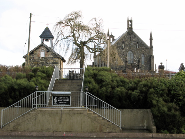 Church in MagherintempleChurch · 984 yd
 CorrakeeranMountain / peak · 1275 yd
 Bunnoe Bridgebridge · 1.1 mi
 Ceremonial enclosure in NeddaiaghCeremonial enclosure · 1.2 mi
 LattacrossanMountain / peak · 1.3 mi
 Embanked enclosureBawn · 1.5 mi
 Drumcarn Ho.Castle, unclassified · 1.9 mi
 Cush WoodWood · 2.9 mi
 The Beech WoodWood · 2.9 mi
 Giant's GraveArchaeological place · 2.9 mi
 Garden IsleIslet · 4.2 mi