What is recorded here
Marianne and her children walked out at dawn to the hidden ring, where a narrow gap led into a circular grass chamber. They touched the earth bank and listened for the faint music said to belong inside. Her daughter saw shadows moving beyond the grass, not people but shapes made of living light. Marianne refused to leave until she understood the invitation, then she returned home changed and never spoke of the name the ring had given her.
In pasture, on N-facing slope. Circular area (32m N-S; 32m E-W) enclosed by earthen bank (int. H 0.7m) SSW->WNW; scarp (H 1.25m), WNW->NNE; low earthen bank (max. int. H 0.25m; ext. H 0.75m) NNE->SSW; external fosse (D 0.5m) SSW->WNW. Entrance (Wth c. 3.8m) to SE. Interior grass-covered, slightly raised, more so to N to compensate for hillslope.
The above description is derived from the published 'Archaeological Inventory of County Cork. Volume 4: North Cork' (Dublin: Stationery Office, 2000). In certain instances the entries have been revised and updated in the light of recent research.
Date of upload/revision: 14 January 2009
The monument record does not grant public access. Check the route and ask the landowner before entering private land.
- What survives
- Recorded monument
Places near here
 LisnagrovaFairy fort / earthen ringfort · 332 yd
 Enclosure in Coolbane (orrery and Kilmore By.)Enclosure · 418 yd
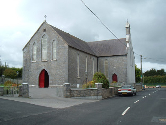 Saint Joseph's Churchchurch/chapel · 686 yd
 Battle of LiscarrollMajor battlefield · 840 yd
 Liscarroll CastleCastle · 862 yd
 Ch (in Rns)Church · 873 yd
 Castle (Site of)Castle, unclassified · 3.2 mi
 Windmill HillMountain / peak · 3.3 mi
 Lady's WellSpring · 3.5 mi
 Churchtown TrailsVisitor information · 3.6 mi
 Ballyhoura WayWalking route · 4.5 mi
 European YewEuropean Yew · 6.1 mi