
What is recorded here
Lisnagrova is a circular earthen fort in County Cork, Ireland, where a second hidden ditch still shadows the ground beneath modern crops. Scots pine now clothes the ancient bank, while nettles and broken branches conceal a low central feature that may have marked the heart of the place. The fort stands beside older burning grounds and another enclosed circle, suggesting a long chain of human use rather than a single forgotten event.
In tillage, on gentle N-facing slope. Circular area (37.5m NW-SE; 37m NNE-SSW) enclosed by earthen bank (int. H 2.5m); external fosse (D 1.25m). Cropmark of second external fosse visible in aerial photogrpah (CASAP, July 1989). Entrance (Wth 3.6m) to NW. Bank planted with Scots Pine. Interior appears to slope down from all sides towards entrance; overgrown with briars, nettles, etc. Low earthen feature near centre of interior visible only through overgrowth and fallen branches. Locally known as Lisgarrett. Cropmark of rectangular field adjacent to SW side. According to Lewis (vol. 2, 281) 'at Coolbane...is a large rath, now neatly planted, where it is said 17 of the relatives of Garret Fitzgerald, of the house of Desmond, killed in the siege of the castle, were interred'. Fulacht fiadh (CO016-08101-) lies c. 40m to NW. Circular enclosure (CO016-251---) c. 90m to SE.
The above description is derived from the published 'Archaeological Inventory of County Cork. Volume 4: North Cork' (Dublin: Stationery Office, 2000). In certain instances the entries have been revised and updated in the light of recent research.
Date of upload/revision: 14 January 2009
The monument record does not grant public access. Check the route and ask the landowner before entering private land.
- What survives
- Recorded monument
Places near here
 Enclosure in Coolbane (orrery and Kilmore By.)Enclosure · 493 yd
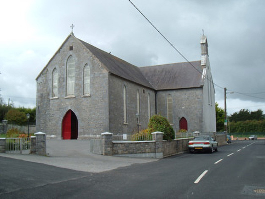 Saint Joseph's Churchchurch/chapel · 702 yd
 Enclosure in RockspringEnclosure · 781 yd
 Battle of LiscarrollMajor battlefield · 898 yd
 Ch (in Rns)Church · 918 yd
 Liscarroll CastleCastle · 956 yd
 Castle (Site of)Castle, unclassified · 3.3 mi
 Lady's WellSpring · 3.4 mi
 Windmill HillMountain / peak · 3.4 mi
 Churchtown TrailsVisitor information · 3.6 mi
 Ballyhoura WayWalking route · 4.6 mi
 European YewEuropean Yew · 5.9 mi
Other information
Photo: Credit not shown in the picture search · Rights wording not checked; contact us if this picture should be removed