What is recorded here
Located at the crest of a S-facing slope overlooking a small W-E stream that joins the South Slob of Wexford Harbour c. 300m to the E. A geophysical survey (Leigh 2018) in advance of a housing development identified a number of features that proved to be either natural or of recent agricultural origin, and a circular enclosure (int. diam. c. 32m) defined by a fosse feature W-N-SE with an entrance at NE. Archaeological testing (19E0090) confirmed the fosse (Wth of top 2.4m; D 1.1m) at N filled with two layers of sandy silt cut into boulder clay and at S (Wth of top 2.6m). There is an internal structure (int. dim. 4.2m N-S) defined by a slot-trench (Wth 0.2-0.5m) with a dark fill that has a hearth (dims 1.2m x 0.75m) within, close to the slot-trench at S. No artefacts were recovered, and it will probably be possible to preserve the archaeological features in situ. (Collins 2019; excavations.ie 2019:055)
Compiled by: Michael Moore
Date of upload; 18 April, 2019
The monument record does not grant public access. Check the route and ask the landowner before entering private land.
- What survives
- Recorded monument
Places near here
 Hut site in RocksboroughHut site · 4 yd
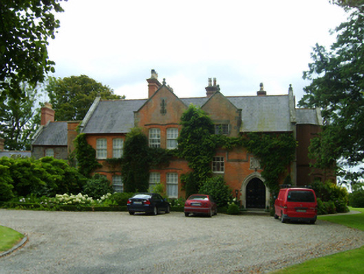 Kerlogue Househouse · 168 yd
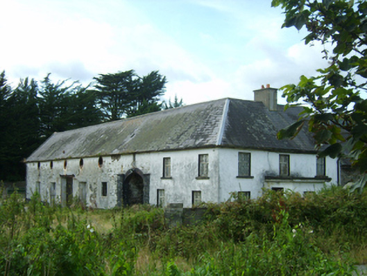 farm housefarm house · 299 yd
 St. James WellHoly well · 353 yd
 Site of CastleCastle, unclassified · 958 yd
 Lock Out GateMemorial · 1.1 mi
 Sack of Wexfordsiege · 1.2 mi
 Siege of Wexfordsiege · 1.2 mi
 Halla KennyMemorial · 1.4 mi
 Three Sisters River CruisesHeritage attraction · 1.6 mi
 Castle (in ruinis)Castle, tower house · 2.2 mi
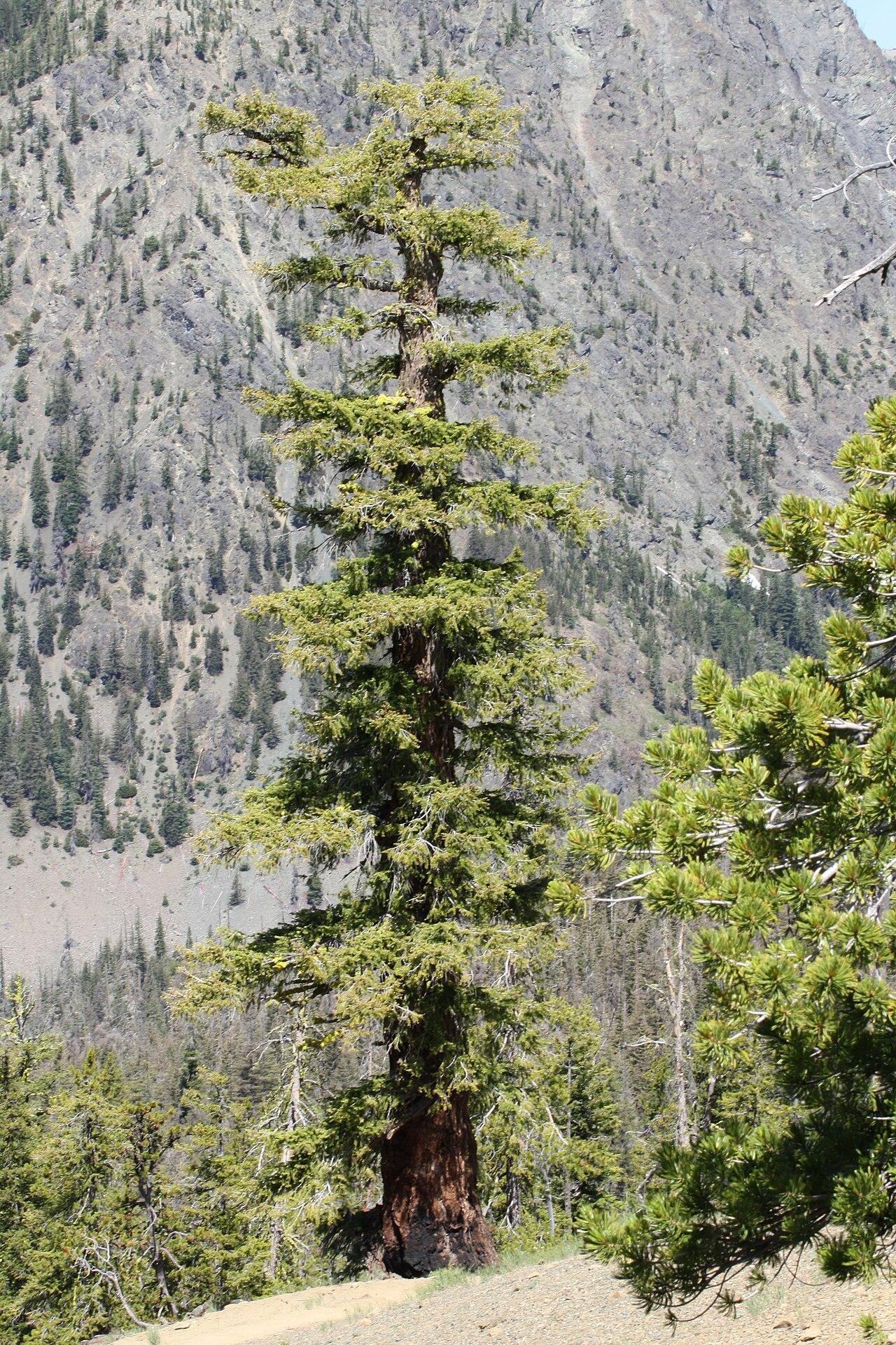 Douglas-firDouglas-fir · 2.7 mi