What is recorded here
Fairy fort / earthen ringfort in Rockingham Demesne (boyle By., Rockingham.ed) is a fairy fort or earthen ringfort in Rockingham Demesne (boyle By., Rockingham.ed), County Roscommon, Ireland. The circular grass-covered area measures 29.7m north-south and sits just off the crest of the SE-facing slope of Longford Hill. A slight scarp defines the perimeter, while faint bank traces appear at the north edge. Another rath lies 40m to the northwest.
Visible on aerial photograph (ASIAP: 253, 21), and situated just off the crest of the SE-facing slope of Longford Hill. Circular grass-covered area (diam. 29.7m N-S) defined by a slight scarp (H 0.2m at N to 0.7m at S) N-E-SW that merges into the slope elsewhere. There are slight traces of a bank (Wth 4m; int. H 0.1m) on the perimeter at N. Rath (RO004-048001-) is c. 40m to the NW.
Compiled by: Michael Moore
Date of upload: 24 August 2010
The monument record does not grant public access. Check the route and ask the landowner before entering private land.
- What survives
- Recorded monument
Places near here
 Longford HillMountain / peak · 174 yd
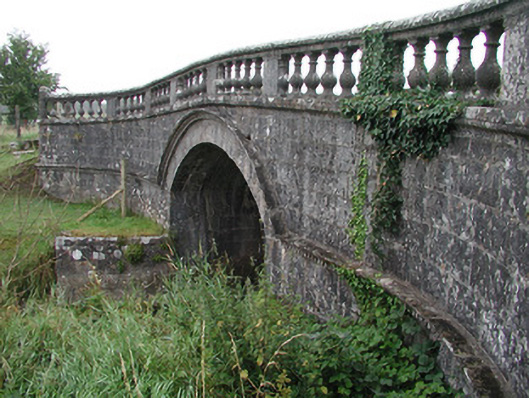 Rockingham Housebridge · 433 yd
 Enclosure in Rockingham Demesne (boyle By., Rockingham.ed)Enclosure · 564 yd
 IndicatedFairy fort / earthen ringfort · 882 yd
 Horse-chestnutHorse-chestnut · 999 yd
 Castle IslandIslet · 1155 yd
 Western RedcedarWestern Redcedar · 1232 yd
 Green IslandIslet · 1378 yd
 Rockingham DemesneRuins · 1503 yd
 Lough Key Forest ParkWood · 1541 yd
 Erris BayBay · 1.5 mi
 Boyle AbbeyHeritage attraction · 3.1 mi