What is recorded here
Situated on a high ridge, in gently undulating pasture, on former demesne lands of Tudenham Park (Rochfort House), with good views of Lough Ennellc. 460m to W. Ringfort (WM026-049----) lies c. 175m to SW. Monument described in 1971 as a subcircular-shaped area (dims. 36m N-S; 31m E-W) enclosed by an inner bank, an intervening fosse an outer bank and an outer fosse. The bank is high and falls steeply to a wide and deep U-shaped fosse which is best preserved from SE-S-W-N and is very shallow from N-E-SE. The outer bank is visible from SE-S-W-N. A later trench running ENE-WSW extends through the outer bank and intervening fosse at NNW. A wide gap (Wth at top 4.7m; basal Wth 2.5m) in the inner bank at ESE may represent the entrance, although there is no trace of a causeway. A very slight mound of earth and stones in the centre may be the remains of a hut site.
See attached profile of monument surveyed and drawn by the ASI.
Compiled by Alison McQueen, Vera Rahilly and Caimin O’Brien.
Date of upload: 02 October 2019
This remains an important historical record, but the official description says the monument is no longer visible or has been destroyed. The monument record does not grant public access. Check the route and ask the landowner before entering private land.
- What survives
- No visible remains or recorded as destroyed
Places near here
 Belvedere house and gardensVisitor information · 257 yd
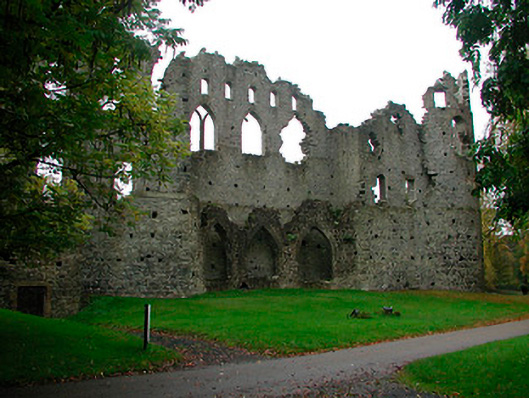 Belvedere Housefolly · 284 yd
 Tudenham Park HouseRuins · 514 yd
 Mollie Moo's Pet FarmHeritage attraction · 812 yd
 Hachured, RahaclowineFairy fort / earthen ringfort · 1365 yd
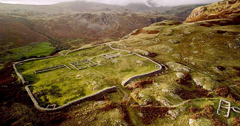 Hachured, Whelans FortFairy fort / earthen ringfort · 1442 yd
 CastleCastle, unclassified · 1563 yd
 Blind IslandIslet · 1675 yd
 Castle in RuinsCastle, tower house · 1.6 mi
 Dysart IslandIsland · 2.0 mi
 United Nations War MemorialMemorial · 4.4 mi
 Ancient Ring FortWood · 5.2 mi