What is recorded here
Situated on WSW-facing slope of a low rise, in gently undulating pasture, on former demesne lands of Tudenham Park (Rochfort House), c. 385m to E of Lough Ennell. Ringfort (WM026-050----) lies c. 175m to NE. Monument described in 1971 as a subcircular-shaped area (dims. 31.5m N-S; 28m E-W) enclosed by an earthen bank and an external fosse. The bank is low and very fragmentary and is reduced to a scarp from ESE-SE-S. A slight fosse is visible from S-W-N-E. The bank has slight remains of an external stone facing which defines either side of an entrance gap (Wth at top 5.5m; basal Wth 1.8m) at SW. The fosse is very slight at this point, possibly suggesting the presence of a causeway. The interior rises gradually from the perimeter towards the centre, except from SE where it rises steeply. The remains of a possible limekiln consisting of a roughly circular-shaped depression (diam. 4.8m) faced with dry-stone masonry is within the centre.
See attached profiles of monument surveyed and drawn by the ASI.
Compiled by Alison McQueen, Vera Rahilly and Caimin O’Brien.
Date of upload: 02 October 2019
The monument record does not grant public access. Check the route and ask the landowner before entering private land.
- What survives
- Recorded monument
Places near here
 Belvedere house and gardensVisitor information · 248 yd
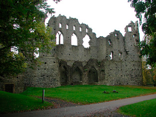 Belvedere Housefolly · 275 yd
 Tudenham Park HouseRuins · 281 yd
 Mollie Moo's Pet FarmHeritage attraction · 599 yd
 Hachured, RahaclowineFairy fort / earthen ringfort · 1237 yd
 CastleCastle, unclassified · 1338 yd
 Blind IslandIslet · 1464 yd
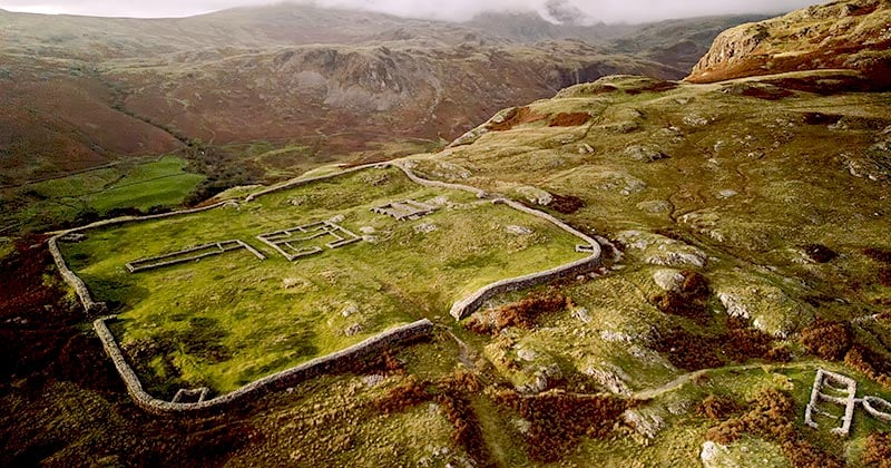 Hachured, Whelans FortFairy fort / earthen ringfort · 1656 yd
 Castle in RuinsCastle, tower house · 1.6 mi
 Dysart IslandIsland · 1.9 mi
 Ancient Ring FortWood · 5.1 mi
 WestmeathVisitor information · 5.9 mi