What is recorded here
Monument surveyed by ASI in 1976 and described as following; 'a roughly broad oval earthen embankment (diam. 40m N-S; 36m E-W). There is no indication of a bank or of a fosse. The site shows considerable signs of disturbance. The area just outside the site on the W, S and e seems to have ben levelled in recent years and the grass is very thin in this area. The townland boundary runs around the perimeter of the site on the NW, N and NE and there are a number of very large rocks piled against this. There is no indication of an entrance. The interior is very uneven and rises irregularly towards the centre. There is a depression just inside the perimeter on the E and another on the SE with a large boulder or rock outcrop in it. There is a small mound of earth covered stones just S of centre, probably outcrop and field clearance. There are also rock outcrops N of centre. No features are discernible. There is a single thorn bush near the centre of the interior and the perimeter is overgrown with trees and thorn bushes particularly from the W to N to E. The site is on a low rise in undulating land of poor pasture. Ringfort (WM032-029----) visible on a rise 560m to the SSW '(SMR File 16/08/1976). Robinstown Castle (WM033-001----) located 220m to the NNE.
Compiled by: Caimin O'Brien
Date of upload: 16 February 2013
The monument record does not grant public access. Check the route and ask the landowner before entering private land.
- What survives
- Recorded monument
Places near here
 Robinstown CastleCastle · 272 yd
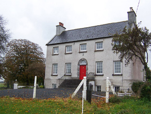 Robinstown Housecountry house · 569 yd
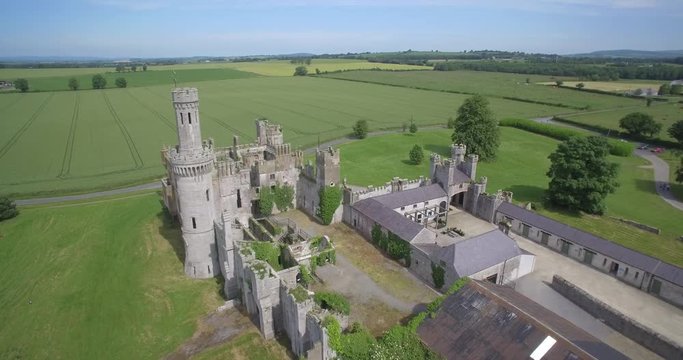 Enclosure in FriarstownEnclosure · 980 yd
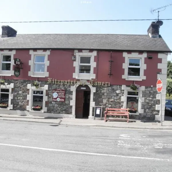 OutlinedFairy fort / earthen ringfort · 991 yd
 FriaryReligious house, Dominican friars · 1109 yd
 CastleCastle, tower house · 1.6 mi
 Blind IslandIslet · 1.7 mi
 Dysart IslandIsland · 1.7 mi
 Mollie Moo's Pet FarmHeritage attraction · 1.8 mi
 Ancient Ring FortWood · 5.2 mi
 Ardan WoodWood · 6.4 mi
 Bonfire HillMountain / peak · 7.0 mi