What is recorded here
No visible trace remains of the ringfort in Robertstown, but the 1841 map still draws its thirty-metre circular bank on a local rise above the flat low-lying land. It has been levelled into tillage, depriving the area of a rare landmark and perhaps erasing the home, shelter or boundary marker of people whose names never reached us. The fairy fort may have been a practical dwelling or a dangerous trap in local story, yet even forgotten earth can belong to someone.
In tillage, on local rise in generally flat low-lying terrain. Monument, depicted as embanked circular enclosure (diam. c. 30m) on 1841 OS 6-inch map, has been levelled. No trace of monument evident when inspected.
Compiled by: Denis Power
Date of upload: 26 August 2011
The monument record does not grant public access. Check the route and ask the landowner before entering private land.
- What survives
- Recorded monument
Places near here
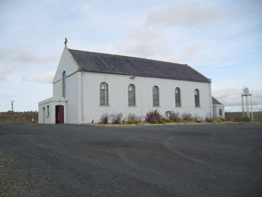 Saint Senan's Catholic Churchchurch/chapel · 106 yd
 Enclosure in RobertstownEnclosure · 145 yd
 Robertstown Church (in ruins)Church · 255 yd
 Robertstown Castle (in ruins)Castle, tower house · 423 yd
 Burnt mound in RobertstownBurnt mound · 491 yd
 Dysert Castle (in ruins)Castle, tower house · 1.1 mi
 Foynes Flying Boat & Maritime MuseumMuseum · 1.8 mi
 Gammarel PointHeadland · 1.9 mi
 Foynes Island ViewpointViewpoint · 2.0 mi
 Foynes IslandIsland · 2.4 mi
 Battery PointHeadland · 2.7 mi
 Monterey CypressMonterey Cypress · 3.3 mi