What is recorded here
No, that is not possible. You have not read the instructions.
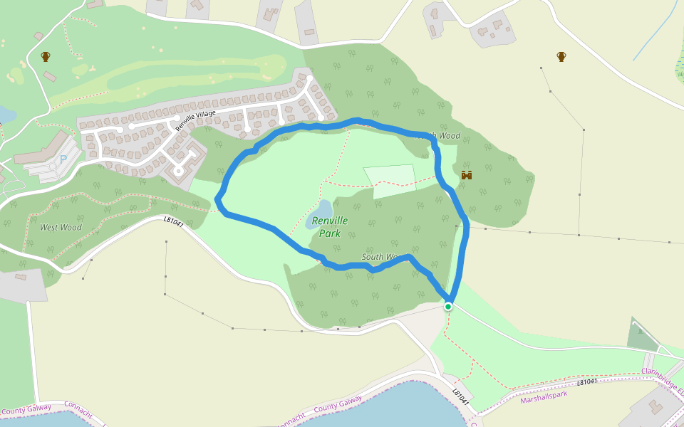
In a woodland plantation, formerly part of Rinville Demesne. This poorly preserved oval rath (42m E-W; 29m N-S) is defined by a bank of earth and stone that is visible all round. Gaps occur at NW and NE. The interior is planted with pine trees. (Athy 1914, 139; McCaffrey 1952, 124, no. 25a)
Compiled by: Galway Archaeological Survey, UCG
Date of upload: 3 April 2018
The monument record does not grant public access. Check the route and ask the landowner before entering private land.
- What survives
- Recorded monument
Places near here
 West WoodWood · 130 yd
 IndicatedFairy fort / earthen ringfort · 265 yd
 RathnapouraFairy fort / earthen ringfort · 355 yd
 Renville HallRuins · 390 yd
 Leadmine HillMountain / peak · 630 yd
 North WoodWood · 730 yd
 CastleCastle, tower house · 891 yd
 Ardfry Housefarmyard complex · 1183 yd
 Castle (in Ruins)Castle, tower house · 1301 yd
 Rabbit IslandIslet · 1.7 mi
 Ardfry PointHeadland · 1.7 mi
 Goose IslandIslet · 2.2 mi