What is recorded here
No visible gap remains in the grassy rim, yet the fort still stands on its drumlin above Lough Corry. A field wall and hedge now cover part of the ancient edge, turning a human boundary into a marker for something older. The missing entrance does not forget the shape; it withholds the direction of entry.
Located on top of a low drumlin with a shore of Lough Corry on the River Shannon c. 135m to the NW at the closest point. This is a grass-covered circular platform (diam. 36.5m N-S) defined by a slight scarp (H 0.25m), which is overlain by a field wall and hedge NW-NE, and there are traces of an external fosse (Wth 2.5m; D 0.1m). The original entrance is not identified.
The above description is derived from 'The Archaeological Inventory of County Leitrim' compiled by Michael J. Moore (Dublin: Stationery Office, 2003). In certain instances the entries have been revised and updated in the light of recent research.
Compiled by: Michael Moore
Date of revised upload: 16 October 2019
The monument record does not grant public access. Check the route and ask the landowner before entering private land.
- What survives
- Recorded monument
Places near here
 IndicatedFairy fort / earthen ringfort · 552 yd
 Enclosure in DanesfortEnclosure · 1219 yd
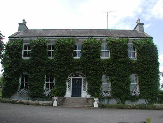 Hollywellhouse · 1.0 mi
 Moon RiverHeritage attraction · 1.1 mi
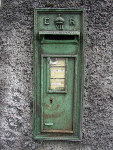 post boxpost box · 1.1 mi
 CastlecarraCastle, unclassified · 2.0 mi
 Patrick Gill Memorial Plaque (IRA)Monument · 2.9 mi
 Robert Strawbridge MemorialMemorial · 3.0 mi
 Wildlife AreaNature reserve · 3.1 mi
 Site of Dangan CastleCastle, unclassified · 3.2 mi
 Mullinashee WoodForest · 3.7 mi
 Leabaidh DermotCave · 5.3 mi