What is recorded here
No fairy ever flew here. A family or a farm boy threw stones and dirt into a round shape, making a place they could own and remember. The bank still stands beside Ballyeighter Lough, marked on old maps and worn by fields. The fairies are not the point. The fort is a record of human hands, pride and continuity.
In level pasture c. 250m E of Ballyeighter Lough. Hachured on both the first edition (1842) and later, Cassini edition (1916) of the OS 6-inch map. This subcircular rath (int. diams. 27m WNW-ESE; 23.2m NNE-SSW; ext. diams. 35.8m WNW-ESE; 30m NNE-SSW) is defined by a broad earthen bank which is best preserved W-N (Wth 4-6.4m; int. H 0.5-0.7m; ext. H 0.5m), but reduced elsewhere to a low scarp (H 0.5-0.8m) with a slight bank (int. H 0.2-0.5m; Wth 1.7-2.7m) along its top. There is a livestock gap at NNW and the enclosing bank is covered with fist-sized fieldstones and occasional boulders – the result of field clearance - and is overgrown with trees and bushes. A later field wall runs WNW-ESE over the S edge of the interior and another field wall overlies the enclosing bank NE-SSE.
Compiled by: Gearóid Conroy and Conn Herriott
Date of upload: 13 January 2023
The monument record does not grant public access. Check the route and ask the landowner before entering private land.
- What survives
- Recorded monument
Places near here
 Font in Cross (inchiquin By.)Font · 1024 yd
 IndicatedEcclesiastical enclosure · 1080 yd
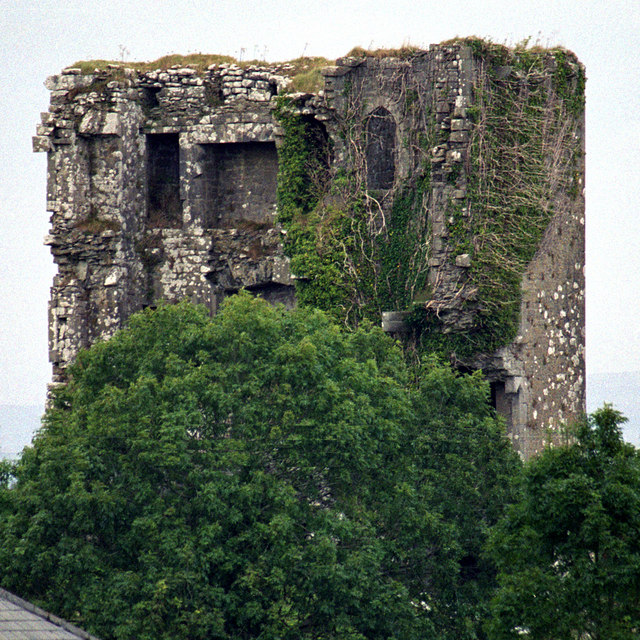 Kilkeedy Castle (in ruins)Castle, tower house · 1246 yd
 R.C. Chapel (in ruins)Church · 1.8 mi
 Bawn in DerryowenBawn · 2.0 mi
 Slieve RoeMountain / peak · 2.2 mi
 Mullagh MoreMountain / peak · 2.2 mi
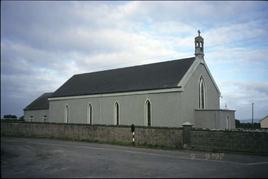 Saint Michael's Catholic Churchchurch/chapel · 2.3 mi
 Father Ted's HouseHeritage attraction · 3.5 mi
 Burren National ParkVisitor information · 3.7 mi
 Kilmacduagh Monastic SiteVisitor information · 4.4 mi
 Mulkere MemorialMemorial · 4.6 mi