What is recorded here
Fairy fort in Reanacaheragh, County Cork: a circular earthen enclosure about 40m across on a south-facing pasture slope. The 1842 map showed a laneway cutting it and a house in the northeast quadrant; now the ground is largely levelled, with faint undulations left in the southeast. People may have lived, herded or marked boundary there before the field took the shape back.
In pasture, on S-facing slope. Depicted as hachured circular enclosure (diam. c. 40m) on 1842 OS 6-inch map, bisected NE-SW by laneway with house and yard in NE quadrant. Levelled; undulations visible in SE quadrant.
The above description is derived from the published 'Archaeological Inventory of County Cork. Volume 3: Mid Cork' (Dublin: Stationery Office, 1997). In certain instances the entries have been revised and updated in the light of recent research.
Date of upload/revision: 14 January 2009
A fairy fort or earthen ringfort in Reanacaheragh, likely dating to the early medieval period, is represented on the 1842 Ordnance Survey map as a circular enclosure with visible undulations, now largely levelled. Local tradition associates such sites with fairy folklore, and they were often avoided due to beliefs in supernatural inhabitants.
The monument record does not grant public access. Check the route and ask the landowner before entering private land.
- What survives
- Recorded monument
Places near here
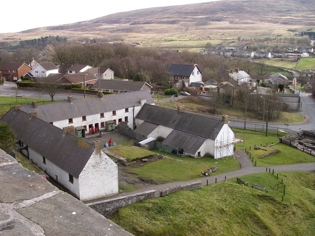 LabbaowenWedge tomb · 1297 yd
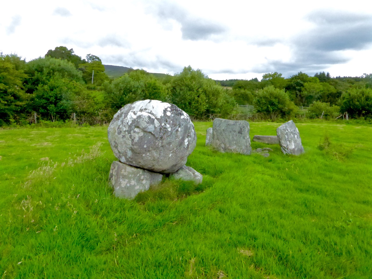 Boulder-burial in ClashbredaneBoulder-burial · 1404 yd
 KilnKiln, lime · 1.8 mi
 monumentmonument · 2.4 mi
 Green HillMountain / peak · 3.0 mi
 Summerhouse WoodForest · 3.4 mi
 Kilmichael Ambush SiteMonument · 3.6 mi
 Kilmichael Ambushambush · 3.6 mi
 Castle RockNamed rock · 3.7 mi
 Dromcarra Castle (in Ruins)Castle, tower house · 4.1 mi
 OCrowleys Castle (in Ruins)Castle, tower house · 4.1 mi
 Kilmurry WoodsPicnic place · 4.1 mi