What is recorded here
No. Of two forts in this area, this is the larger. The other is a little to the east.
The following description is derived from both the published 'Archaeological Inventory of County Louth' (Dublin: Stationery Office, 1986) and the 'Archaeological Survey of County Louth' (Dublin: Stationery Office, 1991). In certain instances the entries have been revised and updated in the light of recent research.
Date of upload/revision: 17 July 2007
Oval platform area (int. diam. 45m, H 2-2.6m) built on a natural rise and enclosed by much-degraded bank, reduced to a scarp. No visible trace of fosse or entrance. There is a gap (Wth 2.6m) on the WSW of the scarp, but it is uncertain whether this is the original entrance.
This remains an important historical record, but the official description says the monument is no longer visible or has been destroyed. The monument record does not grant public access. Check the route and ask the landowner before entering private land.
- What survives
- No visible remains or recorded as destroyed
Places near here
 CastleCastle, unclassified · 345 yd
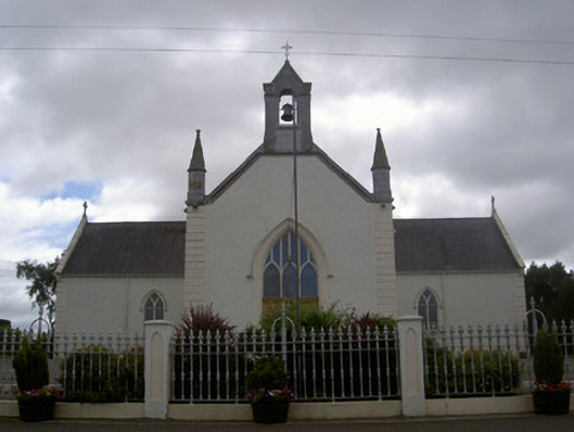 Saint Malachy's Catholic Churchchurch/chapel · 729 yd
 Holy well in EdmondstownHoly well · 829 yd
 Martins FortArchaeological place · 1180 yd
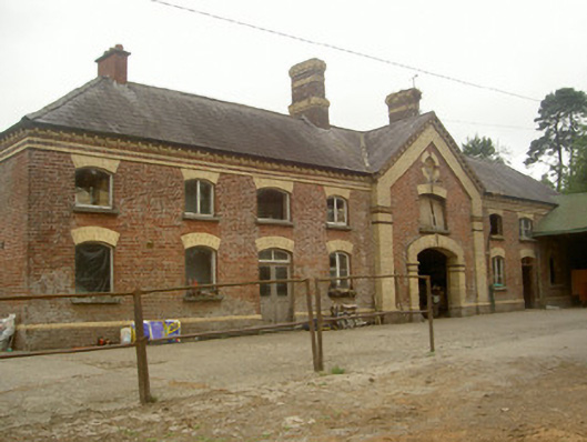 Cardistown Housefarmyard complex · 1.3 mi
 Flat cemetery in AnnaheanFlat cemetery · 1.6 mi
 TuliptreeTuliptree · 1.8 mi
 European YewEuropean Yew · 1.9 mi
 Thomastown CastleCastle, tower house · 1.9 mi
 Matthew's HillMountain / peak · 2.9 mi
 Yellow HillMountain / peak · 4.0 mi
 Sir Frederick Foster MemorialMemorial · 4.9 mi