What is recorded here
Fairy fort in Reaghan, County Galway: a subcircular earthen ringfort, 41m by 38.5m, with two banks, a fosse between them, and a possible 4m causewayed gap at the south. Trees have taken most of it back, but stone-facing still shows on parts of the banks, and a field wall rings the whole place. The name suggests people once refused to explain it, which is often what happens when an old form stops making sense and starts making wonder.
On an E-facing slope in pastureland. This subcircular rath (41m N-S; 38.5m E-W), heavily overgrown with trees, is defined by two banks and an intervening fosse. A causewayed gap (Wth 4m) at S may be original. Traces of stone-facing are visible on the inner bank at S, and at NNW on the outer bank. A field wall surrounds the monument. A possible Man-made underground passage (GA116-109001-) is associated.
Compiled by: Galway Archaeological Survey, UCG
Date of upload: 13 March 2018
The monument record does not grant public access. Check the route and ask the landowner before entering private land.
- What survives
- Recorded monument
Places near here
 Quarryhill WoodWood · 937 yd
 Bog WoodForest · 1099 yd
 Pallas CastleCastle, tower house · 1349 yd
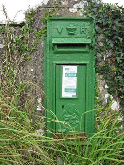 post boxpost box · 1378 yd
 Tynagh Parochial Hallschool · 1402 yd
 ToberbreedaHoly well · 1505 yd
 Site of CastleCastle, unclassified · 1688 yd
 ‘Tobernaglora’Holy well · 1.1 mi
 Church HillMountain / peak · 4.6 mi
 Stonyisland BayBay · 5.1 mi
 Friar's IslandIslet · 5.2 mi
 Abbey IslandIslet · 5.4 mi