What is recorded here
Fairy fort / earthen ringfort in Rea stands in Rea, a circular earthwork with a solid bank and shallow outer ditch. Local people called it a fairy fort, not a human home, because the shape felt occupied rather than abandoned. Cattle still cross its gaps, yet the ring keeps its own quiet claim on the field.
In pasture, on level ground atop natural rise. Circular, slightly raised area (26m N-S; 26m E-W) enclosed by earthen bank (H 1.9m), with external fosse (D 0.8m). Bank stone-faced on inside to SW, WNW and N; crossed by numerous cattle gaps; entrance (Wth 5.5m) to S with causeway. Rectangular depression (18m N-S; 2m E-W; D 0.4m) in centre; mound of material in NW quadrant possibly from depression.
The above description is derived from the published 'Archaeological Inventory of County Cork. Volume 1: West Cork' (Dublin: Stationery Office, 1992). In certain instances the entries have been revised and updated in the light of recent research.
Date of upload/revision: 14 January 2009
The monument record does not grant public access. Check the route and ask the landowner before entering private land.
- What survives
- Recorded monument
Places near here
 Childrens Burial Gd (Disused)Burial ground · 171 yd
 Tober an IarainnSpring · 581 yd
 West Cork Quad AdventuresHeritage attraction · 1393 yd
 Hut site in FahouraghHut site · 1533 yd
 Liss Ardgate lodge · 1627 yd
 Lettertinlish Castle (Ruins)Castle · 1.1 mi
 Russagh Corn Mill (Disused )Mill, corn · 1.1 mi
 Suí FinnMountain / peak · 1.2 mi
 Carraig a' ShleáinMountain / peak · 1.4 mi
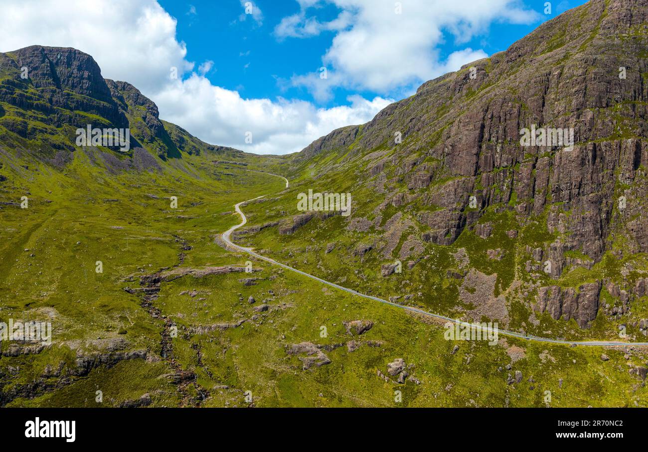 Bealach (pass)Viewpoint · 1.5 mi
 Irish Sky GardenHeritage attraction · 1.5 mi
 Site of CastleCastle, unclassified · 1.6 mi