What is recorded here
No fairy ever touched Rathstephen. A human hand built that arc on Mullacreven Hill, probably centuries before the first survey wheel rolled past. Quarrying bit into the east end and a field bank cut across the south, but twenty metres of crisp earth still stand where someone once drew a circle around their own life. The fairies arrived later, doing what fairies do everywhere: they took the forgotten shape and gave it a name.
Located on the S-facing slope of Mullacreven Hill. It is depicted as an arc of hachures truncated by an E-W field bank at S only on the 1908 edition of the OS 6-inch map. An arc of an earthen bank (Wth of base 6m; Wth of top 1.2m; int. H 1.9m; ext. H 1.45m) survives NW-NE (L c. 20m) but its E end is quarried. The interior slopes down steeply to the S where it is truncated by an E-W field bank. It was probably a rath.
The above description is derived from the published 'Archaeological Inventory of County Meath' (Dublin: Stationery Office, 1987). In certain instances the entries have been revised and updated in the light of recent research.
Compiled by: Michael Moore
Date of revision: 5 September 2018
The monument record does not grant public access. Check the route and ask the landowner before entering private land.
- What survives
- Recorded monument
Places near here
 Big RockPromontory fort, inland · 525 yd
 North Mullaghmore WoodWood · 561 yd
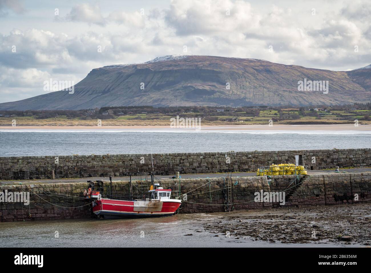 South Mullaghmore WoodWood · 813 yd
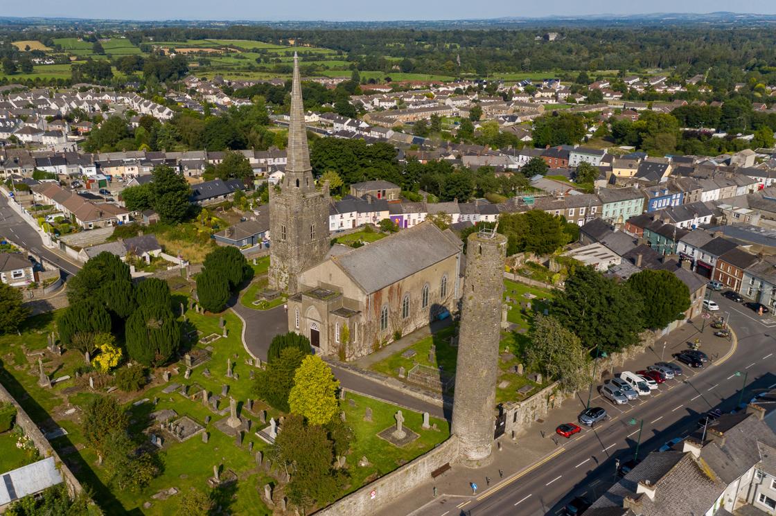 IndicatedFairy fort / earthen ringfort · 1225 yd
 Castle (in Ruins)Castle, unclassified · 1732 yd
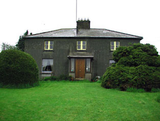 Woodlandsfarm house · 1.1 mi
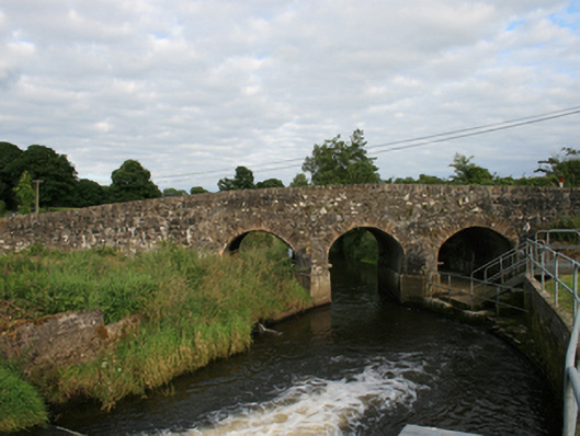 Rosehill Bridgebridge · 1.2 mi
 UghtyneillMountain / peak · 1.2 mi
 Moynalty Steam Threshing MuseumMuseum · 1.5 mi
 Castkecome RuinsCastle, unclassified · 2.2 mi
 Owenroe and Moynalty DrainageMemorial · 3.3 mi
 Sally IslandIslet · 3.4 mi