What is recorded here
In level pasture. Circular area (dims. 20m N-S; 20m E-W Measurements taken from latest edition OS 6-inch map as overgrowth too dense) defined by inner earthen bank (Wth 9.3m; int. H 0.6m; ext. H 1.8m) reduced to scarp in places. Badgers set in exterior of inner bank at E. Intervening fosse (Wth 8.8m; D 0.4-0.6m) truncated by field boundary (long axis E-W) to N. Outer bank (Wth 4.6m; int. H 0.6m; ext. H 0.2m) NE-E-S-NW truncated by field boundary to N. Interior inaccessible due to impenetrable growth of thorn trees. Ringfort-rath (TS069-042----) located 220m to W.
Compiled by: Jean Farrelly
Date of upload: 26 August 2011
The monument record does not grant public access. Check the route and ask the landowner before entering private land.
- What survives
- Recorded monument
Places near here
 Enclosure in CastleblakeEnclosure · 682 yd
 Enclosure in RathsallaghEnclosure · 819 yd
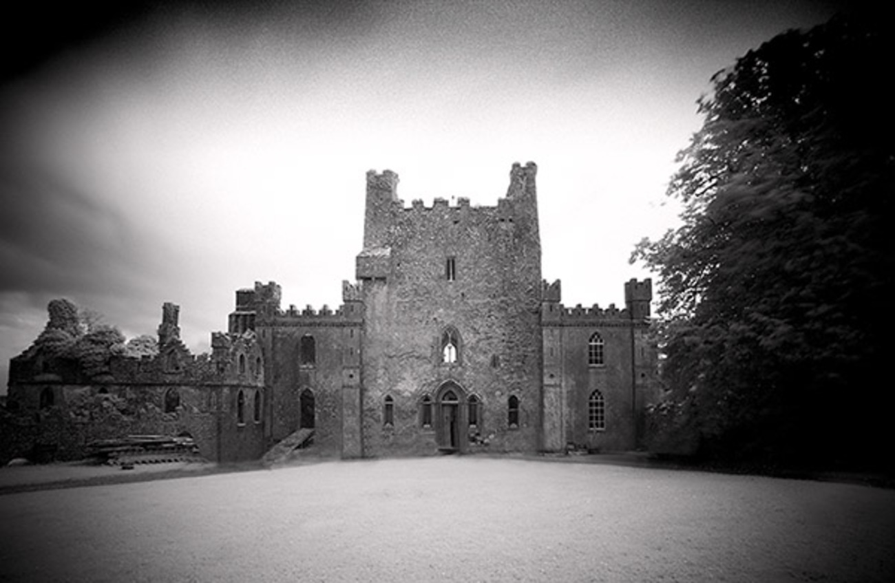 Castle Blake in ruinsCastle, tower house · 1507 yd
 Castle (Site of)Castle, unclassified · 1583 yd
 Church (in ruins)Church · 1.2 mi
 Kilbragh Church (in ruins)Church · 1.3 mi
 Pedunculate OakPedunculate Oak · 4.5 mi
 European YewEuropean Yew · 4.9 mi
 Cashel Folk MusuemMuseum · 5.1 mi
 The Rock Of CashelVisitor information · 5.3 mi
 Cormac's ChapelHeritage attraction · 5.3 mi
 Siege of Cahir Castlesiege · 7.6 mi